|
search place name
|
||
Tungan Ali (Gongola, Nigeria)Tungan Ali is a town in the Gongola region of Nigeria. An overview map of the region around Tungan Ali is displayed below.
regional and 3d topo map of Tungan Ali, Nigeria ::

Tungan Ali airports ::
The nearest airport is MXJ - Minna New, located 80.5 km south east of Tungan Ali.
Other airports nearby include KAD - Kaduna (185.0 km north east), ABV - Abuja Nnamdi Azikiwe Intl (192.6 km south east), ILR - Ilorin (221.6 km south west), ZAR - Zaria (243.2 km north east), Nearby towns ::
[all distances 'as the bird flies' and approximate] 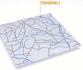 Places with similar names to Tungan Ali, Nigeria ::
// Tanquinel (MX)
// Tungan Ali (NG)
// Tungan Ali (NG)
// Tungan Aliu (NG)
// Tungan Ilo (NG)
// Tungan Ilo (NG)
// T'ung-an-liao (TW)
// Tung-an-liao (TW)
// Dunkineely (IE)
// Tung-an-liao (TW)
Disclaimer :: Information on this page comes without warranty of any kind |
||
|
Where is Tungan Ali? Elevation and coordinates ::
Latitude (lat): 9°58'0"N Longitude (lon): 5°48'0"E
Elevation (approx.): 122m (map arrows pan, magnifying glasses zoom) |
||
|
Visiting Tungan Ali? Hotel/Accommodation ::
Book a hotel in Tungan Ali Travel Guide ::
Buy a travel guide for Nigeria rental cars ::
car rental offers GPS waypoint ::
download a GPX waypoint (PoI) of Tungan Ali for your GPS receiver
|
||