|
search place name
|
||
Tungan Pa (Gongola, Nigeria)Tungan Pa is a town in the Gongola region of Nigeria. An overview map of the region around Tungan Pa is displayed below.
regional and 3d topo map of Tungan Pa, Nigeria ::

Tungan Pa airports ::
The nearest airport is ABV - Abuja Nnamdi Azikiwe Intl, located 6.2 km east of Tungan Pa.
Other airports nearby include MXJ - Minna New (107.5 km north west), KAD - Kaduna (185.1 km north), JOS - Jos Yakubu Gowon (194.5 km east), MDI - Makurdi (212.8 km south east), Nearby towns ::
Tungan Wada (1.2km south) //
Guako (1.9km west) //
Gwari (2.4km south west) //
Tungan Ali (2.6km south east) //
Tunga Maje (3.5km north west) //
Dawliko (3.6km north) //
Tungan Kaki (3.7km north west) //
Idon Kasa (4.2km south) //
Anagada (4.3km west) //
Idon Bisa (6.4km south) //
Pasere (6.5km south west) //
Ekpa (7.4km north) //
Rafin Pa (7.6km south west) //
Zuba (7.9km north) //
Madala (8.7km north) //
Bangwo (8.9km north west) //
Shenagu (9.2km north west) //
Bassa (11.1km south west) //
[all distances 'as the bird flies' and approximate] 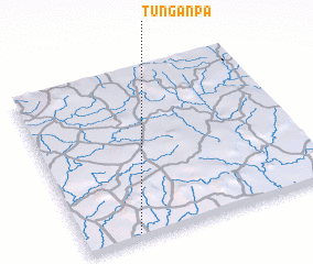 Places with similar names to Tungan Pa, Nigeria ::
Disclaimer :: Information on this page comes without warranty of any kind |
||
|
Where is Tungan Pa? Elevation and coordinates ::
Latitude (lat): 9°1'33"N Longitude (lon): 7°12'36"E
Elevation (approx.): 296m (map arrows pan, magnifying glasses zoom) |
||
|
Visiting Tungan Pa? Hotel/Accommodation ::
Book a hotel in Tungan Pa Travel Guide ::
Buy a travel guide for Nigeria rental cars ::
car rental offers GPS waypoint ::
download a GPX waypoint (PoI) of Tungan Pa for your GPS receiver
|
||