|
search place name
|
||
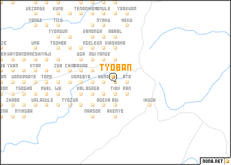
Tyoban (Gongola, Nigeria)Tyoban is a town in the Gongola region of Nigeria. An overview map of the region around Tyoban is displayed below.
regional and 3d topo map of Tyoban, Nigeria ::
Tyoban airports ::
The nearest airport is MDI - Makurdi, located 83.0 km north west of Tyoban.
Other airports nearby include BPC - Bamenda (168.4 km south east), ENU - Enugu (169.5 km west), BFX - Bafoussam (225.9 km south east), FOM - Foumban Nkounja (250.3 km south east), Nearby towns ::
Shagba (0.0km north) //
Abo (0.0km north) //
Wuna (1.8km west) //
Gudu (1.8km west) //
Agba (1.8km west) //
Akpela (1.8km west) //
Vaarikpa (1.8km west) //
Tiav (1.9km south) //
Liam (1.9km south) //
Byaku (1.9km north) //
Ato (1.8km east) //
Kaanga (1.9km south) //
Gege (2.6km south west) //
Leva (2.6km south west) //
Kwaor (2.6km south west) //
Koloko (2.6km south west) //
Labe (2.6km south west) //
Aove (2.6km south west) //
Ambe (2.6km north west) //
Unde (2.6km south west) //
Mlaha (2.6km south west) //
Shigba (2.6km north west) //
Pan (2.6km south east) //
Utsu (3.7km north) //
Uanto (3.7km south) //
Ihanme (3.7km south) //
Orfo (3.7km south) //
Adi (3.7km south) //
Alom (3.7km north) //
[all distances 'as the bird flies' and approximate] 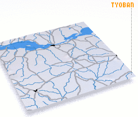
Disclaimer :: Information on this page comes without warranty of any kind |
||
|
Where is Tyoban? Elevation and coordinates ::
Latitude (lat): 7°3'0"N Longitude (lon): 8°59'0"E
Elevation (approx.): 184m (map arrows pan, magnifying glasses zoom) |
||
|
Visiting Tyoban? Hotel/Accommodation ::
Book a hotel in Tyoban Travel Guide ::
Buy a travel guide for Nigeria rental cars ::
car rental offers GPS waypoint ::
download a GPX waypoint (PoI) of Tyoban for your GPS receiver
|
||