|
search place name
|
||
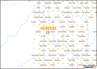
Ugba Gbe (Gongola, Nigeria)Ugba Gbe is a town in the Gongola region of Nigeria. An overview map of the region around Ugba Gbe is displayed below.
regional and 3d topo map of Ugba Gbe, Nigeria ::
Ugba Gbe airports ::
The nearest airport is MDI - Makurdi, located 58.0 km north of Ugba Gbe.
Other airports nearby include ENU - Enugu (134.4 km south west), BPC - Bamenda (215.1 km south east), ABV - Abuja Nnamdi Azikiwe Intl (246.5 km north west), BFX - Bafoussam (270.2 km south east), Nearby towns ::
Adima (0.0km north) //
Tsetim (0.0km north) //
Ugbande (0.0km north) //
Kpame (0.0km north) //
Alayo (0.0km north) //
Tyongi (0.0km north) //
Adooji (0.0km north) //
Adoka (1.9km south) //
Agber (1.9km south) //
Kurayeme (1.9km south) //
Avur (1.9km south) //
Ilye (1.9km south) //
Unyor (1.9km south) //
Typtyev (1.8km west) //
Dugh (1.8km west) //
Akptse (1.8km west) //
Juabe (1.8km west) //
Roi (1.8km west) //
Acka (1.8km east) //
Kwakar (1.8km west) //
Abo (1.8km east) //
Tarma (1.8km east) //
Yeke (1.9km north) //
Anaambe (1.8km west) //
Agoji (1.8km west) //
Ukon (1.9km north) //
Tse Chumba (1.9km north) //
Yuan (1.8km east) //
Adashi (1.8km west) //
[all distances 'as the bird flies' and approximate] 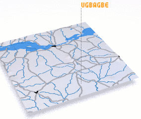 Places with similar names to Ugba Gbe, Nigeria :: Disclaimer :: Information on this page comes without warranty of any kind |
||
|
Where is Ugba Gbe? Elevation and coordinates ::
Latitude (lat): 7°11'0"N Longitude (lon): 8°33'0"E
Elevation (approx.): 123m (map arrows pan, magnifying glasses zoom) |
||
|
Visiting Ugba Gbe? Hotel/Accommodation ::
Book a hotel in Ugba Gbe Travel Guide ::
Buy a travel guide for Nigeria rental cars ::
car rental offers GPS waypoint ::
download a GPX waypoint (PoI) of Ugba Gbe for your GPS receiver
|
||