|
search place name
|
||
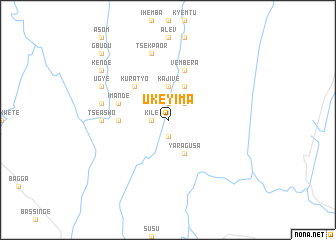
Ukeyima (Gongola, Nigeria)Ukeyima is a town in the Gongola region of Nigeria. An overview map of the region around Ukeyima is displayed below.
regional and 3d topo map of Ukeyima, Nigeria ::
Ukeyima airports ::
The nearest airport is BPC - Bamenda, located 86.1 km south east of Ukeyima.
Other airports nearby include BFX - Bafoussam (144.9 km south east), MDI - Makurdi (162.6 km north west), FOM - Foumban Nkounja (167.7 km south east), CBQ - Calabar (223.2 km south west), Nearby towns ::
Tsedyugh (1.9km south) //
Ugbe (1.9km south) //
Atokyaa (1.9km north) //
Kile (1.8km west) //
Iyo (2.6km north east) //
Minde (2.6km north east) //
Kajive (3.7km north) //
Yaragusa (4.1km south east) //
Ala (4.1km north east) //
Aemberga (4.1km north east) //
Kuratyo (5.2km north west) //
Gesa (5.5km west) //
Dera (5.5km west) //
Vembera (5.9km north) //
Nyamkpev (5.9km north) //
Imande (5.8km west) //
Tseasho (7.4km west) //
Tsekpaor (7.6km north) //
Adigena (7.6km west) //
Ugye (8.2km north west) //
Kende (9.2km north west) //
Gbudu (10.4km north west) //
[all distances 'as the bird flies' and approximate] 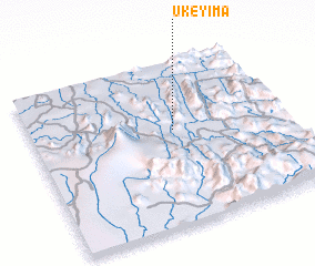 Places with similar names to Ukeyima, Nigeria :: Disclaimer :: Information on this page comes without warranty of any kind |
||
|
Where is Ukeyima? Elevation and coordinates ::
Latitude (lat): 6°35'0"N Longitude (lon): 9°34'0"E
Elevation (approx.): 283m (map arrows pan, magnifying glasses zoom) |
||
|
Visiting Ukeyima? Hotel/Accommodation ::
Book a hotel in Ukeyima Travel Guide ::
Buy a travel guide for Nigeria rental cars ::
car rental offers GPS waypoint ::
download a GPX waypoint (PoI) of Ukeyima for your GPS receiver
|
||