|
search place name
|
||
Wali (Gongola, Nigeria)Wali is a town in the Gongola region of Nigeria. An overview map of the region around Wali is displayed below.
regional and 3d topo map of Wali, Nigeria ::

Wali airports ::
The nearest airport is SKO - Sokoto Sadiq Abubakar Iii Intl, located 66.1 km east of Wali.
Nearby towns ::
Kamfani (4.1km north west) //
Bela (4.1km south west) //
Luga (4.1km north east) //
Yola Aori (5.6km north) //
Gijia (5.8km south) //
Gidan Maigemi (6.6km north west) //
Kunkuru (6.6km south west) //
Ungwa Mesamari (7.4km south) //
Hakwon Sarki (7.5km east) //
Gesa (7.8km north west) //
Gidan Aguda (7.8km north west) //
Saharma (8.2km north west) //
Gude (8.1km south east) //
Fadisonko (9.2km north west) //
Lugamani (9.2km south west) //
[all distances 'as the bird flies' and approximate] 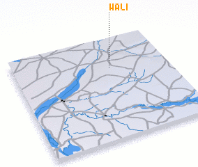 Places with similar names to Wali, Nigeria ::
Disclaimer :: Information on this page comes without warranty of any kind |
||
|
Where is Wali? Elevation and coordinates ::
Latitude (lat): 12°43'0"N Longitude (lon): 4°38'0"E
Elevation (approx.): 256m (map arrows pan, magnifying glasses zoom) |
||
|
Visiting Wali? Hotel/Accommodation ::
Book a hotel in Wali Travel Guide ::
Buy a travel guide for Nigeria rental cars ::
car rental offers GPS waypoint ::
download a GPX waypoint (PoI) of Wali for your GPS receiver
|
||