|
search place name
|
||
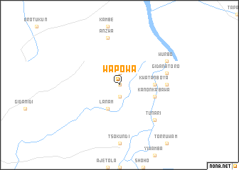
Wapowa (Gongola, Nigeria)Wapowa is a town in the Gongola region of Nigeria. An overview map of the region around Wapowa is displayed below.
regional and 3d topo map of Wapowa, Nigeria ::
Wapowa airports ::
The nearest airport is MDI - Makurdi, located 157.4 km west of Wapowa.
Other airports nearby include BPC - Bamenda (213.5 km south), JOS - Jos Yakubu Gowon (224.0 km north west), Nearby towns ::
Wamgbe (0.0km north) //
Usmman (1.9km north) //
Kikundu (1.9km north) //
Sakpa (1.9km south) //
Lanam (4.1km south west) //
Kwatan Boya (5.5km east) //
Kanon Kabawa (5.8km east) //
Hoyon (7.3km east) //
Chan Gasuwa (7.6km east) //
Gidan Atoro (7.6km east) //
Anzwa (7.6km north) //
Tunari (7.8km south east) //
Wurbo (8.2km north east) //
[all distances 'as the bird flies' and approximate] 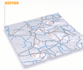
Disclaimer :: Information on this page comes without warranty of any kind |
||
|
Where is Wapowa? Elevation and coordinates ::
Latitude (lat): 7°58'0"N Longitude (lon): 10°1'0"E
Elevation (approx.): 127m (map arrows pan, magnifying glasses zoom) |
||
|
Visiting Wapowa? Hotel/Accommodation ::
Book a hotel in Wapowa Travel Guide ::
Buy a travel guide for Nigeria rental cars ::
car rental offers GPS waypoint ::
download a GPX waypoint (PoI) of Wapowa for your GPS receiver
|
||