|
search place name
|
||
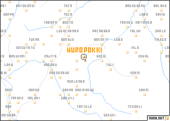
Wuro Pokki (Gongola, Nigeria)Wuro Pokki is a town in the Gongola region of Nigeria. An overview map of the region around Wuro Pokki is displayed below.
regional and 3d topo map of Wuro Pokki, Nigeria ::
Wuro Pokki airports ::
The nearest airport is YOL - Yola, located 54.6 km north of Wuro Pokki.
Other airports nearby include GOU - Garoua (101.9 km north east), NGE - N'gaoundere Ngaoundere (190.4 km south east), MVR - Maroua Salak (256.5 km north east), Nearby towns ::
Jumbule (0.0km north) //
Korkai (1.8km west) //
Lamude (2.6km south west) //
Deggi (3.7km east) //
Bakanti (5.2km north east) //
Baraje (5.2km north west) //
Tuli (5.8km east) //
Ngolomba (5.9km south) //
Karlahi Chamba (6.6km north west) //
Bango Yite (6.6km south west) //
Giware Buba (6.7km north east) //
Paza Baba (6.7km north east) //
Nassarawa (6.6km south west) //
Karlahi (6.7km north west) //
Luga Chamba (6.7km north west) //
Rajiya (7.3km west) //
Pari Pandu (7.4km south) //
Marabu (7.6km west) //
Bantai (7.6km west) //
Bayasi (7.6km south) //
Lebo (8.2km north east) //
Hamatairu (8.2km south west) //
Bunto (8.3km north west) //
Bashinda (8.3km north west) //
Sampa (8.3km south west) //
Donka Verre (9.2km north west) //
Shikini (9.2km north west) //
Jauro Bello (9.2km south west) //
Yabara (10.4km north west) //
[all distances 'as the bird flies' and approximate] 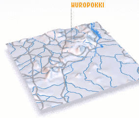 Places with similar names to Wuro Pokki, Nigeria ::
Disclaimer :: Information on this page comes without warranty of any kind |
||
|
Where is Wuro Pokki? Elevation and coordinates ::
Latitude (lat): 8°48'0"N Longitude (lon): 12°37'0"E
Elevation (approx.): 368m (map arrows pan, magnifying glasses zoom) |
||
|
Visiting Wuro Pokki? Hotel/Accommodation ::
Book a hotel in Wuro Pokki Travel Guide ::
Buy a travel guide for Nigeria rental cars ::
car rental offers GPS waypoint ::
download a GPX waypoint (PoI) of Wuro Pokki for your GPS receiver
|
||