|
search place name
|
||
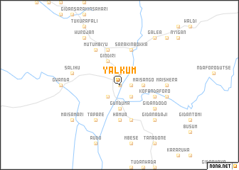
Yalkum (Gongola, Nigeria)Yalkum is a town in the Gongola region of Nigeria. An overview map of the region around Yalkum is displayed below.
regional and 3d topo map of Yalkum, Nigeria ::
Yalkum airports ::
The nearest airport is BPC - Bamenda, located 141.9 km south west of Yalkum.
Other airports nearby include FOM - Foumban Nkounja (175.2 km south), BFX - Bafoussam (188.3 km south), Nearby towns ::
Salama (0.0km north) //
Baissa (1.9km north) //
Mamman (1.8km east) //
Ndaforo (2.6km south west) //
Bangara (2.6km south east) //
Gunduma (3.7km south) //
Mai Sango (3.7km east) //
Gindiri (4.1km north west) //
Hamua (5.6km south) //
Kpawala (5.9km north) //
Gidan Isa (5.8km east) //
Kofa Ndaforo (5.8km east) //
Gunduma (5.9km south) //
Sarakin Bokka (5.9km north) //
Tapare (6.7km south west) //
Mutumbiyu (6.7km north west) //
Gidan Dogo (6.7km south west) //
Gidan Dodo (6.6km south east) //
Mai Shera (7.4km east) //
Salihu (7.6km west) //
Gidan Giwa (7.6km east) //
Gidan Adaji (7.8km south east) //
Atsuku (7.8km south east) //
Galea (9.2km north east) //
Mai Samari (9.2km south west) //
Goje (9.2km south west) //
Wurojan (9.2km north west) //
Bente (10.4km north east) //
[all distances 'as the bird flies' and approximate] 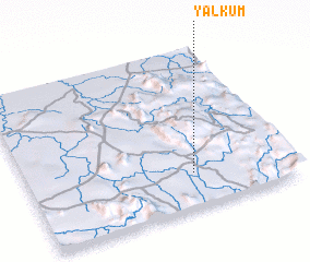 Places with similar names to Yalkum, Nigeria ::
Disclaimer :: Information on this page comes without warranty of any kind |
||
|
Where is Yalkum? Elevation and coordinates ::
Latitude (lat): 7°13'0"N Longitude (lon): 10°38'0"E
Elevation (approx.): 227m (map arrows pan, magnifying glasses zoom) |
||
|
Visiting Yalkum? Hotel/Accommodation ::
Book a hotel in Yalkum Travel Guide ::
Buy a travel guide for Nigeria rental cars ::
car rental offers GPS waypoint ::
download a GPX waypoint (PoI) of Yalkum for your GPS receiver
|
||