|
search place name
|
||
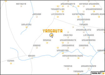
Yan Gauta (Gongola, Nigeria)Yan Gauta is a town in the Gongola region of Nigeria. An overview map of the region around Yan Gauta is displayed below.
regional and 3d topo map of Yan Gauta, Nigeria ::
Yan Gauta airports ::
The nearest airport is ZAR - Zaria, located 57.5 km south of Yan Gauta.
Other airports nearby include KAD - Kaduna (103.7 km south), QUS - Gusau (107.0 km north west), KAN - Kano Mallam Aminu Intl (121.4 km north east), MFG - Maradi (212.5 km north), Nearby towns ::
Kwakware (1.9km north) //
Rashidu (2.6km south west) //
Tsiga (4.1km south east) //
Tudun Wada (4.1km south east) //
Ungwan Wanzamai (5.4km east) //
Zagezagi (5.4km east) //
Ungwan Maitakobi (5.8km east) //
Ungwan Mahauta (5.8km east) //
Ungwan Barde (5.8km east) //
Ungwan Yari (6.6km south east) //
Zango Marke (6.6km south east) //
Kabomo (6.6km south west) //
Layin Minista (7.6km north) //
Ungwan Barkono (8.2km north east) //
Jargaba (9.2km north west) //
Wangarawa (9.2km south east) //
Bakori (10.4km south west) //
[all distances 'as the bird flies' and approximate] 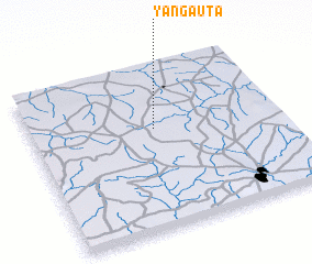 Places with similar names to Yan Gauta, Nigeria ::
// Yangau-Tau (RU)
// Yunekit (RU)
// Yan Kit (SG)
// Yanıgöde (TR)
// Yeniçöte (TR)
// Yangaday (CF)
// Yankote (CD)
// Yānīkh Dāghī (IR)
// Yanacota (PE)
// Yanacoto (PE)
Disclaimer :: Information on this page comes without warranty of any kind |
||
|
Where is Yan Gauta? Elevation and coordinates ::
Latitude (lat): 11°37'0"N Longitude (lon): 7°30'0"E
Elevation (approx.): 638m (map arrows pan, magnifying glasses zoom) |
||
|
Visiting Yan Gauta? Hotel/Accommodation ::
Book a hotel in Yan Gauta Travel Guide ::
Buy a travel guide for Nigeria rental cars ::
car rental offers GPS waypoint ::
download a GPX waypoint (PoI) of Yan Gauta for your GPS receiver
|
||