|
search place name
|
||
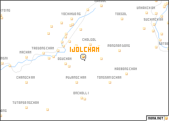
Ijŏlch'am (Chagang, Korea, North)Ijŏlch'am is a town in the Chagang region of Korea, North. An overview map of the region around Ijŏlch'am is displayed below.
regional and 3d topo map of Ijŏlch'am, Korea, North ::
Ijŏlch'am airports ::
The nearest airport is FNJ - Pyongyang Intl, located 145.6 km south west of Ijŏlch'am.
Nearby towns ::
Munhwa-ri (2.9km north) //
Sich'am (3.0km south west) //
Chŏl-gol (3.7km north) //
Soho-dong (2.9km east) //
Sinhŭngch'am (3.6km north west) //
Ŏguch'am (3.3km west) //
Taebŏm-gol (3.9km north east) //
Pujangch'am (5.0km south) //
Chiktongch'am (4.9km north west) //
Sangsŏngch'am (4.8km north west) //
Hasŏngch'am (5.0km north west) //
Sujŏl-li (5.6km north west) //
Sinp'yŏngch'am (6.1km north west) //
Sŏyang-ni (5.3km west) //
Tae-gol (6.9km north) //
Chungp'yŏngch'am (6.7km north west) //
Tongsangch'am (6.5km south east) //
Poktongch'am (6.1km west) //
Pangnan-dong (6.3km east) //
Onch'ŏl-li (8.3km south) //
Puk-tong (8.1km north) //
Kŭmsŏng-ni (8.3km north) //
Onhach'am (8.6km south) //
Myŏngdal-gol (9.2km north west) //
Changt'o-gol (8.6km north west) //
Maengch'ŏn-gol (9.4km north west) //
[all distances 'as the bird flies' and approximate] 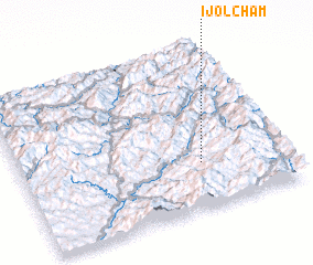 Places with similar names to Ijŏlch'am, Korea, North :: Disclaimer :: Information on this page comes without warranty of any kind |
||
|
Where is Ijŏlch'am? Elevation and coordinates ::
Latitude (lat): 40°16'37"N Longitude (lon): 126°40'57"E
Elevation (approx.): 478m (map arrows pan, magnifying glasses zoom) |
||
|
Visiting Ijŏlch'am? Hotel/Accommodation ::
Book a hotel in Ijŏlch'am Travel Guide ::
rental cars ::
car rental offers GPS waypoint ::
download a GPX waypoint (PoI) of Ijŏlch'am for your GPS receiver
|
||