|
search place name
|
||
Ip'o-ri (Yanggang, Korea, North)Ip'o-ri is a town in the Yanggang region of Korea, North. An overview map of the region around Ip'o-ri is displayed below.
regional and 3d topo map of Ip'o-ri, Korea, North ::

Nearby towns ::
Mulbang-gol (3.3km north west) //
Yangp'yŏng-ni (3.4km west) //
Sanjŏmdŏng-ni (3.7km west) //
Sach'op'yŏng (4.0km west) //
Sinch'ang-ni (7.8km north) //
Nojŏn-ni (7.8km north) //
Soksim-dong (6.5km south east) //
Sin'gajae-gol (7.7km north east) //
Sejangnyŏng (7.7km south west) //
Changal-li (9.6km south west) //
Sinhŭng-ni (10.4km south east) //
Tŏktunji (10.8km south west) //
[all distances 'as the bird flies' and approximate] 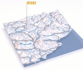 Places with similar names to Ip'o-ri, Korea, North ::
Disclaimer :: Information on this page comes without warranty of any kind |
||
|
Where is Ip'o-ri? Elevation and coordinates ::
Latitude (lat): 40°48'51"N Longitude (lon): 128°20'51"E
Elevation (approx.): 981m (map arrows pan, magnifying glasses zoom) |
||
|
Visiting Ip'o-ri? Hotel/Accommodation ::
Book a hotel in Ip'o-ri Travel Guide ::
rental cars ::
car rental offers GPS waypoint ::
download a GPX waypoint (PoI) of Ip'o-ri for your GPS receiver
|
||