|
search place name
|
||
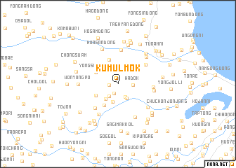
Kŭmulmok (Hamgyŏng, Korea, North)Kŭmulmok is a town in the Hamgyŏng region of Korea, North. An overview map of the region around Kŭmulmok is displayed below.
regional and 3d topo map of Kŭmulmok, Korea, North ::
Nearby towns ::
Sŏjigol (1.0km west) //
Yu-dong (1.6km south) //
Wadŏk (1.8km east) //
Iram-dong (2.3km south east) //
Songŏgok (2.3km south west) //
Iramdongyongjŏn'gok (2.5km south east) //
Yŏngam (2.9km south) //
Ihyang-ni (2.8km south west) //
Yongp'o-dong (3.1km north) //
Yongsan-dong (3.2km north west) //
Songŏ-gol (3.2km south west) //
Karŭm (3.8km south west) //
Paenamu-gol (3.9km north) //
Yongnam-dong (3.6km north east) //
Sa-gol (4.7km south west) //
Yongbuk-tong (4.5km north east) //
Yong-dong (5.4km north) //
Yongjŏndongyongjŏn'gok (4.2km east) //
Samhyang-ni (5.4km south west) //
Chuch'onhujang (4.4km east) //
Sangmyŏng-gol (5.7km south) //
Hwasan-dong (5.8km north) //
Sangsoyo (5.2km south east) //
Yongyŏl-li (5.5km north east) //
Wŏnyangp'o (4.7km west) //
Iryong-dong (6.3km north) //
Hwap'yŏng (5.8km north east) //
Yong-dong (6.8km north) //
Hwaryong-ni (6.7km north) //
[all distances 'as the bird flies' and approximate] 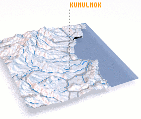 Places with similar names to Kŭmulmok, Korea, North :: Disclaimer :: Information on this page comes without warranty of any kind |
||
|
Where is Kŭmulmok? Elevation and coordinates ::
Latitude (lat): 41°25'5"N Longitude (lon): 129°32'44"E
Elevation (approx.): 215m (map arrows pan, magnifying glasses zoom) |
||
|
Visiting Kŭmulmok? Hotel/Accommodation ::
Book a hotel in Kŭmulmok Travel Guide ::
rental cars ::
car rental offers GPS waypoint ::
download a GPX waypoint (PoI) of Kŭmulmok for your GPS receiver
|
||