|
search place name
|
||
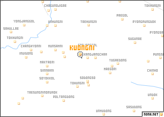
Kuŏng-ni (Hamgyŏng, Korea, North)Kuŏng-ni is a town in the Hamgyŏng region of Korea, North. An overview map of the region around Kuŏng-ni is displayed below.
regional and 3d topo map of Kuŏng-ni, Korea, North ::
Kuŏng-ni airports ::
The nearest airport is FNJ - Pyongyang Intl, located 138.0 km south west of Kuŏng-ni.
Other airports nearby include SHO - Sokch'o Sokcho (240.4 km south east), Nearby towns ::
Chinjang-ni (1.0km east) //
Sanjŏnggol (2.4km north east) //
Kangjangch'am (2.4km east) //
Kŭmsŏng-ni (3.0km west) //
Munhŭng-ni (3.5km north west) //
Sodongso (5.4km south) //
Paekpawi (5.6km south) //
Taedongso (6.3km south) //
Munsam-ni (5.1km north west) //
Tohŭng-ni (6.5km south) //
Hwangch'ŏlp'o (5.6km east) //
Maegŏ-ri (5.9km south east) //
Taehŭng-ni (7.7km north) //
Maktae-ri (6.3km west) //
Yugae-dong (6.5km east) //
Sinnam-ni (7.1km south west) //
Sŏyŏk-kol (8.2km south west) //
Unhŭng-ni (8.8km north west) //
Ch'angp'a (9.7km north west) //
[all distances 'as the bird flies' and approximate] 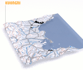 Places with similar names to Kuŏng-ni, Korea, North ::
Disclaimer :: Information on this page comes without warranty of any kind |
||
|
Where is Kuŏng-ni? Elevation and coordinates ::
Latitude (lat): 39°54'57"N Longitude (lon): 127°0'17"E
Elevation (approx.): 591m (map arrows pan, magnifying glasses zoom) |
||
|
Visiting Kuŏng-ni? Hotel/Accommodation ::
Book a hotel in Kuŏng-ni Travel Guide ::
rental cars ::
car rental offers GPS waypoint ::
download a GPX waypoint (PoI) of Kuŏng-ni for your GPS receiver
|
||