|
search place name
|
||
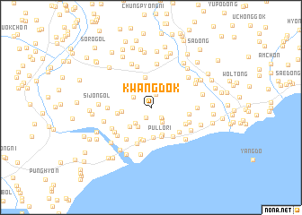
Kwangdŏk (Hamgyŏng, Korea, North)Kwangdŏk is a town in the Hamgyŏng region of Korea, North. An overview map of the region around Kwangdŏk is displayed below.
regional and 3d topo map of Kwangdŏk, Korea, North ::
Nearby towns ::
Sŏ-ch'on (1.3km south) //
San'gup'o (1.7km north) //
Tongsang-ch'on (1.6km south east) //
Sagye-dong (1.9km south east) //
Tongha-ch'on (2.1km south east) //
Kodŏk (2.1km north west) //
Taman-ch'on (2.5km south west) //
Turubong-dong (2.7km south west) //
Ch'omak-tong (3.1km north west) //
Sŏbugŭn (3.1km south west) //
Kyoha-dong (3.6km south) //
Tae-dong (2.8km west) //
Kyosang-dong (3.7km south) //
Sangjang-dong (3.8km north) //
Pullo-ri (3.8km south) //
Songsŏ-dong (4.1km south) //
Yongwŏl-li (4.1km south) //
Chung-ch'on (3.3km west) //
Chi-dong (4.2km south east) //
T'ong-dong (4.1km south east) //
Tongho-dong (3.9km south east) //
Tong-ch'on (4.7km south) //
Sin-ch'on (3.7km east) //
Yangmok-ch'on (4.6km south west) //
Sangnyŏngam-ch'on (4.0km south east) //
P'yŏng-ch'on (5.2km north) //
Chaktal-gol (4.1km west) //
Yongsan (4.7km south west) //
Oktang-dong (5.4km north) //
[all distances 'as the bird flies' and approximate] 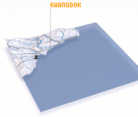 Places with similar names to Kwangdŏk, Korea, North :: Disclaimer :: Information on this page comes without warranty of any kind |
||
|
Where is Kwangdŏk? Elevation and coordinates ::
Latitude (lat): 40°49'8"N Longitude (lon): 129°24'40"E
Elevation (approx.): 77m (map arrows pan, magnifying glasses zoom) |
||
|
Visiting Kwangdŏk? Hotel/Accommodation ::
Book a hotel in Kwangdŏk Travel Guide ::
rental cars ::
car rental offers GPS waypoint ::
download a GPX waypoint (PoI) of Kwangdŏk for your GPS receiver
|
||