|
search place name
|
||
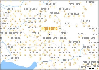
Maebong (P'yŏngan, Korea, North)Maebong is a town in the P'yŏngan region of Korea, North. An overview map of the region around Maebong is displayed below.
regional and 3d topo map of Maebong, Korea, North ::
Maebong airports ::
The nearest airport is FNJ - Pyongyang Intl, located 118.9 km south east of Maebong.
Nearby towns ::
Yongsal-li (0.5km south west) //
K'ŭn'gogae (1.7km north) //
Kanjŏn-dong (1.5km east) //
Kwangbong-dong (2.0km south) //
Sangji-ri (2.0km south) //
Sa-dong (2.2km north) //
Taeam (2.1km north west) //
Sŏyaksu (2.7km south) //
Musan (2.4km south west) //
Namsong (2.4km south west) //
In'gwang-ni (2.6km south east) //
Yŏmju-ŭp (2.9km south west) //
Hyangbong (2.8km west) //
Inhŭng (3.9km south) //
Tongyaksu (3.9km south) //
Sŏngnam (3.2km north west) //
Sangmyŏng (3.2km north west) //
Sŏbong (3.4km south west) //
Yongbong (3.4km south west) //
Sugok (3.4km north east) //
Sinp'yŏng (3.8km south west) //
Namsi-dong (4.1km south) //
Namp'yŏng (4.1km south) //
Sinhŭng (4.1km south) //
Koju-ri (3.6km south east) //
Tongsŏng-ni (3.4km west) //
Yongjŏng (3.7km west) //
Yangch'aeng-nodongjagu (4.3km north east) //
Sŏsaryŏng (4.5km north west) //
[all distances 'as the bird flies' and approximate] 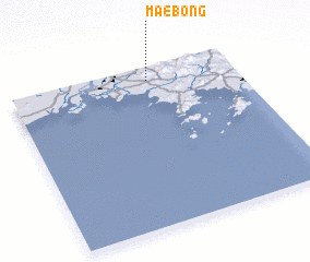 Places with similar names to Maebong, Korea, North ::
Disclaimer :: Information on this page comes without warranty of any kind |
||
|
Where is Maebong? Elevation and coordinates ::
Latitude (lat): 39°55'6"N Longitude (lon): 124°36'57"E
Elevation (approx.): 68m (map arrows pan, magnifying glasses zoom) |
||
|
Visiting Maebong? Hotel/Accommodation ::
Book a hotel in Maebong Travel Guide ::
rental cars ::
car rental offers GPS waypoint ::
download a GPX waypoint (PoI) of Maebong for your GPS receiver
|
||