|
search place name
|
||
Mundong-ni (Hamgyŏng, Korea, North)Mundong-ni is a town in the Hamgyŏng region of Korea, North. An overview map of the region around Mundong-ni is displayed below.
regional and 3d topo map of Mundong-ni, Korea, North ::
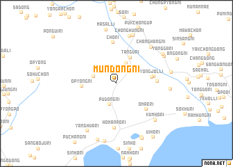
Nearby towns ::
Pudong-ni (3.5km south) //
Chimal-li (3.5km north) //
Chongsal-li (3.0km west) //
Tangu-ri (4.5km north) //
Op'yŏng-ni (4.3km west) //
Yongjŏl-li (4.5km east) //
Chungjangnae (4.7km east) //
Omae-ri (5.5km south east) //
Chang-dong (5.0km east) //
Ch'o-ri (6.6km north) //
Homanp'o-ri (7.1km south) //
Ch'ŏnghŭng-ni (7.8km north) //
Changhang-ni (7.2km north east) //
Tangp'o-ri (8.0km north) //
Kŭmho-ri (7.6km south east) //
Kwangch'ŏl-li (6.7km east) //
Masal-li (8.7km north) //
Yangga-ri (7.4km north east) //
Ch'o-ri (7.3km north east) //
Yanghwa-ri (8.4km south west) //
Sinbukch'ŏng-nodongjagu (7.0km east) //
Kanggye-gol (9.1km south) //
Kangsang-nodongjagu (9.3km south) //
Ŭiho-ri (9.7km south east) //
[all distances 'as the bird flies' and approximate] 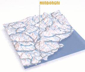 Places with similar names to Mundong-ni, Korea, North ::
// Mantañgon (PH)
// Mantaangan (PH)
// Mendenkan (BJ)
// Mantingan (ID)
// Mīān Tangān (IR)
// Mīān Tangān (IR)
// Mundŏng-ni (KP)
// Mundŏng-ni (KP)
// Mundong-ni (KP)
// Mundong-ni (KP)
Disclaimer :: Information on this page comes without warranty of any kind |
||
|
Where is Mundong-ni? Elevation and coordinates ::
Latitude (lat): 40°9'39"N Longitude (lon): 128°16'50"E
Elevation (approx.): 35m (map arrows pan, magnifying glasses zoom) |
||
|
Visiting Mundong-ni? Hotel/Accommodation ::
Book a hotel in Mundong-ni Travel Guide ::
rental cars ::
car rental offers GPS waypoint ::
download a GPX waypoint (PoI) of Mundong-ni for your GPS receiver
|
||