|
search place name
|
||
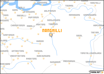
Nangmil-li (Chagang, Korea, North)Nangmil-li is a town in the Chagang region of Korea, North. An overview map of the region around Nangmil-li is displayed below.
regional and 3d topo map of Nangmil-li, Korea, North ::
Nangmil-li airports ::
The nearest airport is FNJ - Pyongyang Intl, located 176.2 km south of Nangmil-li.
Nearby towns ::
Samgi-ri (1.6km north) //
Tobong-ni (3.7km north) //
Hwagok (4.0km south west) //
Paksan-dong (3.9km west) //
Songjin-dong (5.2km north) //
Imok-tong (4.7km north west) //
Sinyŏl-li (6.4km north west) //
Samga-dong (5.9km west) //
Tonggol (7.0km south west) //
Hwagŏn-ni (7.0km south west) //
Sadŏng-ni (7.8km north) //
P'abal-li (6.5km north west) //
Hwachun-dong (8.1km south) //
Wŏlp'yŏng-ni (8.6km north) //
Ch'uam-dong (6.8km west) //
Nŭpchae-ri (8.6km north) //
Pup'yŏng-ni (7.9km north west) //
Namsang-ni (9.4km north west) //
Manho-dong (9.3km north east) //
P'imok-tong (10.4km south west) //
Ŏyŏng-dong (10.3km north west) //
[all distances 'as the bird flies' and approximate] 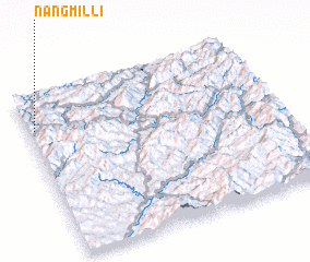 Places with similar names to Nangmil-li, Korea, North ::
// Niangombula (CD)
// Nangaembaluh (ID)
// Nangmal (KP)
// Nangmal (KP)
// Nangmal-li (KP)
// Nŭng-mal (KP)
// Nŭngmol (KP)
// Nŭng-mal (KR)
// Nŭng-mal (KR)
// Nŭng-mal (KR)
Disclaimer :: Information on this page comes without warranty of any kind |
||
|
Where is Nangmil-li? Elevation and coordinates ::
Latitude (lat): 40°47'12"N Longitude (lon): 126°1'37"E
Elevation (approx.): 376m (map arrows pan, magnifying glasses zoom) |
||
|
Visiting Nangmil-li? Hotel/Accommodation ::
Book a hotel in Nangmil-li Travel Guide ::
rental cars ::
car rental offers GPS waypoint ::
download a GPX waypoint (PoI) of Nangmil-li for your GPS receiver
|
||