|
search place name
|
||
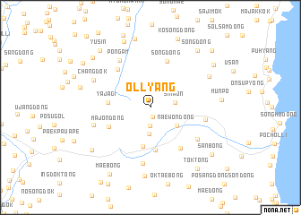
Ŏllyang (Hamgyŏng, Korea, North)Ŏllyang is a town in the Hamgyŏng region of Korea, North. An overview map of the region around Ŏllyang is displayed below.
regional and 3d topo map of Ŏllyang, Korea, North ::
Nearby towns ::
P'anwa (1.2km south) //
Ansim-dong (2.3km south) //
Simwŏn (2.4km east) //
Okchun-dong (3.2km south) //
Naewŏn-dong (3.4km south east) //
Kaesim-dong (5.0km south) //
Ch'ŏnggye-dong (5.3km south) //
Yajagi (4.1km west) //
Majŏn-dong (4.6km south west) //
Sŏng-dong (5.9km north) //
Hosal-li (5.7km north west) //
Naewŏn-gol (5.8km south east) //
Pongam (6.5km north west) //
Kajŏn (5.4km east) //
Naesandong-Sŏn-dong (5.9km south east) //
Munam-dong (7.0km south) //
Ch'ŏndŏk (5.8km west) //
Changdŏk (6.4km north west) //
Ch'omak (6.8km north east) //
Wŏn-dong (8.6km south) //
Sangsa-dong (8.5km north) //
Toktŏk (8.7km north) //
Munp'o (6.7km east) //
Ch'ŏnghak-tong (7.7km south west) //
Taech'u-dong (7.0km west) //
Kosŏng-dong (8.9km north) //
Sŏng-dong (8.4km north east) //
Madŭng-gol (8.2km north west) //
Ch'ak-kol (8.0km north east) //
[all distances 'as the bird flies' and approximate] 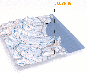 Places with similar names to Ŏllyang, Korea, North ::
// Olayinka (NG)
Disclaimer :: Information on this page comes without warranty of any kind |
||
|
Where is Ŏllyang? Elevation and coordinates ::
Latitude (lat): 41°6'9"N Longitude (lon): 129°34'51"E
Elevation (approx.): 625m (map arrows pan, magnifying glasses zoom) |
||
|
Visiting Ŏllyang? Hotel/Accommodation ::
Book a hotel in Ŏllyang Travel Guide ::
rental cars ::
car rental offers GPS waypoint ::
download a GPX waypoint (PoI) of Ŏllyang for your GPS receiver
|
||