|
search place name
|
||
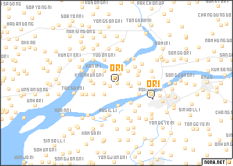
O-ri (Korea, North)O-ri is a town in Korea, North. An overview map of the region around O-ri is displayed below.
regional and 3d topo map of O-ri, Korea, North ::
O-ri airports ::
The nearest airport is FNJ - Pyongyang Intl, located 45.2 km south of O-ri.
Nearby towns ::
Sangnyung-ni (0.0km north) //
Kanggŭm-ni (0.4km north) //
Sangch'il-li (1.0km south west) //
Namsam-ni (1.5km north) //
Yung-ni (1.4km west) //
Sŏnami-ri (1.4km east) //
Saryuk-tong (1.4km east) //
Yulgong-ni (1.4km east) //
Tongsa-dong (1.9km east) //
Chungch'o-ri (2.3km north west) //
Haryung-ni (2.3km south west) //
Ch'ŏngsan-ni (2.3km south west) //
Sŏi-ri (2.3km north east) //
Sangil-li (3.0km north) //
Namch'il-li (3.6km south) //
Tongnami-ri (2.9km north east) //
Kuryong-dong (2.9km west) //
Namsŏl-li (2.9km east) //
Toldari (2.9km east) //
Sinhŭng-ni (3.5km south east) //
Kwibong-ni (3.5km north east) //
Yudong-ni (4.0km north) //
Kani-ri (3.4km north west) //
Chaegong-ni (3.4km north west) //
Sinp'yŏng-ni (3.4km south west) //
Hach'il-tong (3.4km south west) //
Pugil-tong (4.0km north) //
Tongp'al-tong (3.4km south west) //
Pugi-ri (3.4km north east) //
[all distances 'as the bird flies' and approximate] 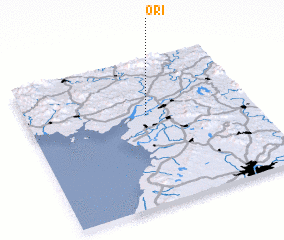 Places with similar names to O-ri, Korea, North ::
Disclaimer :: Information on this page comes without warranty of any kind |
||
|
Where is O-ri? Elevation and coordinates ::
Latitude (lat): 39°37'0"N Longitude (lon): 125°32'0"E
Elevation (approx.): 25m (map arrows pan, magnifying glasses zoom) |
||
|
Visiting O-ri? Hotel/Accommodation ::
Book a hotel in O-ri Travel Guide ::
rental cars ::
car rental offers GPS waypoint ::
download a GPX waypoint (PoI) of O-ri for your GPS receiver
|
||