|
search place name
|
||
Paktal-li (Yanggang, Korea, North)Paktal-li is a town in the Yanggang region of Korea, North. An overview map of the region around Paktal-li is displayed below.
regional and 3d topo map of Paktal-li, Korea, North ::

Nearby towns ::
Sŏnggae-ri (3.1km north west) //
Huyang-ni (5.4km north west) //
Sangsal-li (5.6km north) //
Paekpau (4.8km east) //
Kŭmp'ung-ni (5.1km north west) //
P'ungsal-li (6.3km north) //
Sosang-ni (6.2km north west) //
Changdong-ni (7.3km north) //
Yŏnp'ung-ni (6.2km north west) //
Taehŭng-ni (6.9km south west) //
Chibang-dong (6.6km north west) //
Naesal-li (8.6km north) //
Tŭngdae-ri (7.8km south west) //
Chung-ni (7.3km north west) //
Iptŏng-ni (7.8km south west) //
Sangbyŏl-tong (8.3km north east) //
Chŏngnyong-gol (7.3km north west) //
Moup'yŏng (8.0km north west) //
Namhŭng-dong (8.7km north east) //
Sinyang-ni (9.6km south east) //
Chamdong-ni (9.9km north west) //
Sinp'ung-dong (10.4km north east) //
[all distances 'as the bird flies' and approximate] 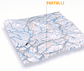 Places with similar names to Paktal-li, Korea, North ::
// Pocatello (US)
// Peckatel (DE)
// Peckatel (DE)
// Poggetello (IT)
// Pigadoúlia (GR)
// Pākdāl (BD)
// Pukdale (ID)
// Puctla (MX)
// Pekh Tal (SN)
// Pāy Kotal (IR)
Disclaimer :: Information on this page comes without warranty of any kind |
||
|
Where is Paktal-li? Elevation and coordinates ::
Latitude (lat): 41°11'54"N Longitude (lon): 128°24'39"E
Elevation (approx.): 1174m (map arrows pan, magnifying glasses zoom) |
||
|
Visiting Paktal-li? Hotel/Accommodation ::
Book a hotel in Paktal-li Travel Guide ::
rental cars ::
car rental offers GPS waypoint ::
download a GPX waypoint (PoI) of Paktal-li for your GPS receiver
|
||