|
search place name
|
||
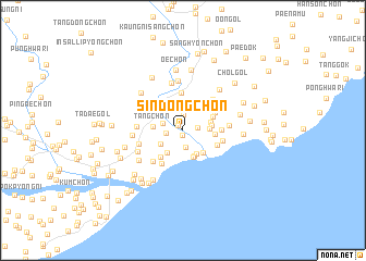
Sindong-ch'on (Hamgyŏng, Korea, North)Sindong-ch'on is a town in the Hamgyŏng region of Korea, North. An overview map of the region around Sindong-ch'on is displayed below.
regional and 3d topo map of Sindong-ch'on, Korea, North ::
Nearby towns ::
Tolsal-li (0.5km south) //
Hwajang-ni (0.7km north west) //
Inam-ch'on (1.2km east) //
Hurye-ch'on (1.6km north) //
Pongsu-gol (1.4km west) //
Kujuk-ch'on (1.7km south) //
Sang-ch'on (1.7km north west) //
Yangdŏgi (2.4km north) //
Pongsu-gol (2.2km south west) //
Tongp'yŏng-ni (2.6km south east) //
Hang-ch'on (2.1km east) //
Pohang-ch'on (2.6km south west) //
Munam-ni (2.8km south) //
Yŏhaejin (2.8km south) //
Tuyŏl-li (2.3km east) //
P'ogok-ch'on (2.3km east) //
T'ang-ch'on (2.3km west) //
Yŏmdunji (2.8km south east) //
Tuurigan-ch'on (2.6km east) //
Yangjŏng-ch'on (2.7km north east) //
Yongsal-li (3.3km south west) //
Taptong-ni (3.2km north west) //
Hongŭi-gol (3.1km north east) //
P'ohang-ch'on (3.1km south east) //
Yanggumi (3.9km north) //
Pyŏngji-ch'on (3.1km east) //
Kirin-ch'on (3.8km south west) //
Subyŏn-ch'on (3.3km east) //
Songgok (3.7km north east) //
[all distances 'as the bird flies' and approximate] 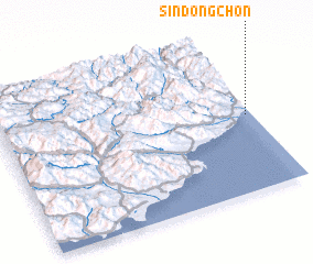 Places with similar names to Sindong-ch'on, Korea, North :: Disclaimer :: Information on this page comes without warranty of any kind |
||
|
Where is Sindong-ch'on? Elevation and coordinates ::
Latitude (lat): 40°29'24"N Longitude (lon): 128°58'44"E
Elevation (approx.): 9m (map arrows pan, magnifying glasses zoom) |
||
|
Visiting Sindong-ch'on? Hotel/Accommodation ::
Book a hotel in Sindong-ch'on Travel Guide ::
rental cars ::
car rental offers GPS waypoint ::
download a GPX waypoint (PoI) of Sindong-ch'on for your GPS receiver
|
||