|
search place name
|
||
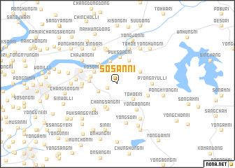
Sŏsan-ni (Korea, North)Sŏsan-ni is a town in Korea, North. An overview map of the region around Sŏsan-ni is displayed below.
regional and 3d topo map of Sŏsan-ni, Korea, North ::
Sŏsan-ni airports ::
The nearest airport is FNJ - Pyongyang Intl, located 41.9 km south of Sŏsan-ni.
Nearby towns ::
Sŏnhŭng-ni (1.3km south west) //
Maeam (2.3km north east) //
Wŏnp'ung-ni (2.6km north west) //
Changhŭng-ni (2.6km south west) //
Tohoe-ri (3.2km south east) //
Paektolgogae (3.7km north) //
Choyang-dong (4.0km north) //
Maengju-ri (4.0km north) //
Chung-ni (3.4km north east) //
Changsang-ni (4.0km south) //
Kosŏng-ni (3.4km north west) //
Puksong-ni (4.2km north) //
Pongsŏ-ri (4.2km south) //
Kŭmsŏng-ni (3.9km north west) //
Yongyŏn-dong (3.5km west) //
Sinyang-dong (3.4km west) //
Yongbong-ni (4.7km south east) //
Sangsŏ-ri (4.2km south east) //
Changch'ŏn-ni (5.0km south west) //
P'yŏngnyul-li (4.3km east) //
Hwayang-ni (4.3km west) //
Sinsŏng-ni (5.5km north) //
Ch'ŏnmyŏng-dong (4.4km west) //
Tohoe (5.7km north) //
Sangch'am (5.7km north) //
Namp'yŏng-dong (5.7km north) //
Anju (4.9km north west) //
Yongsŏ-ri (6.3km south) //
Misang-dong (5.1km west) //
[all distances 'as the bird flies' and approximate] 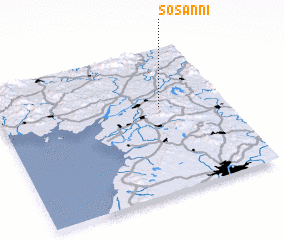 Places with similar names to Sŏsan-ni, Korea, North ::
Disclaimer :: Information on this page comes without warranty of any kind |
||
|
Where is Sŏsan-ni? Elevation and coordinates ::
Latitude (lat): 39°36'0"N Longitude (lon): 125°43'0"E
Elevation (approx.): 115m (map arrows pan, magnifying glasses zoom) |
||
|
Visiting Sŏsan-ni? Hotel/Accommodation ::
Book a hotel in Sŏsan-ni Travel Guide ::
rental cars ::
car rental offers GPS waypoint ::
download a GPX waypoint (PoI) of Sŏsan-ni for your GPS receiver
|
||