|
search place name
|
||
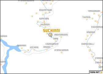
Such'im-ni (Chagang, Korea, North)Such'im-ni is a town in the Chagang region of Korea, North. An overview map of the region around Such'im-ni is displayed below.
regional and 3d topo map of Such'im-ni, Korea, North ::
Such'im-ni airports ::
The nearest airport is FNJ - Pyongyang Intl, located 234.5 km south west of Such'im-ni.
Nearby towns ::
Sŏal-li (1.7km north west) //
Sap'a (1.9km south east) //
Tongal-li (2.1km north west) //
Chunggang-ni (3.4km south) //
Paeksan-dong (2.7km east) //
Kujŏng-ni (4.0km north west) //
Ando-ri (4.7km south) //
Araegalchŏm-ni (5.5km north) //
Kalbat-ni (5.2km north west) //
Kŭppyŏru (6.1km north) //
Hyangch'ŏng-ni (6.3km south east) //
Kalchŏm-ni (6.7km north west) //
Unch'ang (6.6km south west) //
Taehŭng-ni (8.5km north) //
Ssukpatkubi (9.0km north) //
Yŏnhwa-ri (8.0km south west) //
Sŏhojung-ch'on (9.5km north west) //
Tarigol-li (9.2km north west) //
[all distances 'as the bird flies' and approximate] 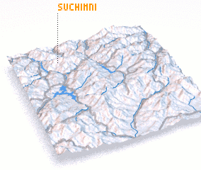 Places with similar names to Such'im-ni, Korea, North ::
// Cichmiana (PL)
// Ciechomin (PL)
// Ciechomin (PL)
// Sui Chimiān (PK)
// Suchiman (PE)
// Such'im-ni (KP)
// Such'im-ni (KP)
// Such'im-ni (KP)
// Such'im-ni (KP)
// Satiamanah (ID)
Disclaimer :: Information on this page comes without warranty of any kind |
||
|
Where is Such'im-ni? Elevation and coordinates ::
Latitude (lat): 40°54'21"N Longitude (lon): 127°19'56"E
Elevation (approx.): 875m (map arrows pan, magnifying glasses zoom) |
||
|
Visiting Such'im-ni? Hotel/Accommodation ::
Book a hotel in Such'im-ni Travel Guide ::
rental cars ::
car rental offers GPS waypoint ::
download a GPX waypoint (PoI) of Such'im-ni for your GPS receiver
|
||