|
search place name
|
||
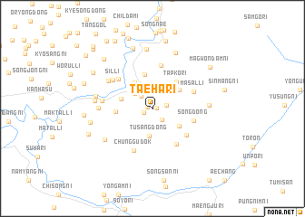
Taeha-ri (P'yŏngan, Korea, North)Taeha-ri is a town in the P'yŏngan region of Korea, North. An overview map of the region around Taeha-ri is displayed below.
regional and 3d topo map of Taeha-ri, Korea, North ::
Taeha-ri airports ::
The nearest airport is FNJ - Pyongyang Intl, located 99.1 km south west of Taeha-ri.
Nearby towns ::
Sindae-ri (0.4km east) //
Kidae-ri (0.5km west) //
Sillyul-li (1.0km south west) //
Kiŭn-dong (1.6km south east) //
Taesang-ni (1.4km east) //
Sindŏng-ni (1.8km north west) //
Yongsŏng-ni (2.4km north west) //
Munhŭng-ni (2.9km north) //
Mun'gong-ni (3.1km north) //
Songhang-ni (3.1km north east) //
Tusang-dong (3.5km south) //
P'ot'an (3.6km north west) //
Pae-gol (3.4km south east) //
Ch'o-dong (3.4km north east) //
Taeyang-ni (3.2km west) //
Yŏngwŏn-ŭp (4.2km north) //
T'apkŏri (4.0km north east) //
Samdŏng-ni (3.5km west) //
Sinhŭng (4.9km south east) //
Song-dong (4.2km east) //
Chunghŭng-dong (4.6km south east) //
Pongdŏng-ni (5.4km north) //
Masal-li (4.4km north east) //
Sangch'am (4.9km north west) //
Ch'unggudŏk (5.4km south) //
Sil-li (5.1km north west) //
Naeam (4.9km west) //
Hach'am (5.4km north west) //
Chang-dong (5.1km west) //
[all distances 'as the bird flies' and approximate] 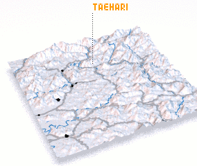 Places with similar names to Taeha-ri, Korea, North ::
Disclaimer :: Information on this page comes without warranty of any kind |
||
|
Where is Taeha-ri? Elevation and coordinates ::
Latitude (lat): 39°47'47"N Longitude (lon): 126°33'14"E
Elevation (approx.): 253m (map arrows pan, magnifying glasses zoom) |
||
|
Visiting Taeha-ri? Hotel/Accommodation ::
Book a hotel in Taeha-ri Travel Guide ::
rental cars ::
car rental offers GPS waypoint ::
download a GPX waypoint (PoI) of Taeha-ri for your GPS receiver
|
||