|
search place name
|
||
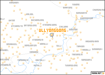
Ullyong-dong (P'yŏngan, Korea, North)Ullyong-dong is a town in the P'yŏngan region of Korea, North. An overview map of the region around Ullyong-dong is displayed below.
regional and 3d topo map of Ullyong-dong, Korea, North ::
Ullyong-dong airports ::
The nearest airport is FNJ - Pyongyang Intl, located 100.0 km south west of Ullyong-dong.
Nearby towns ::
Chik-tong (0.3km south) //
Kŏmun-dong (1.3km south west) //
Tang-gol (1.7km north) //
Ibong-dong (1.5km north east) //
P'ungjŏl-li (1.8km south east) //
Nae-dong (1.6km west) //
Chung-gol (2.3km north west) //
Sungnye-dong (2.2km east) //
P'ungsang-ni (3.2km south) //
Namsŏk-kol (2.9km north east) //
Sŏngjo-dong (2.9km north west) //
Kyesong-dong (3.5km north) //
Taehŭng-dong (3.5km north) //
Yongho-dong (3.0km north west) //
Yonghŭng-dong (3.2km north east) //
Samwŏlganggŏri (3.4km east) //
Wŏrŭl-li (4.1km south west) //
Hach'am (4.5km south) //
Tubyŏru (4.6km south) //
Sil-li (4.5km south east) //
Hwasul-li (3.7km east) //
Ch'ildami (4.2km north east) //
Sangch'am (4.6km south east) //
Songha-ri (3.9km west) //
P'o-dong (5.1km south west) //
Kyosang-ni (4.4km south west) //
Kosŏnggang (5.4km south) //
Handae-dong (4.7km north east) //
Hoe-gol (5.6km north) //
[all distances 'as the bird flies' and approximate] 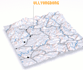 Places with similar names to Ullyong-dong, Korea, North ::
// Ullyong-dong (KP)
Disclaimer :: Information on this page comes without warranty of any kind |
||
|
Where is Ullyong-dong? Elevation and coordinates ::
Latitude (lat): 39°51'53"N Longitude (lon): 126°29'19"E
Elevation (approx.): 275m (map arrows pan, magnifying glasses zoom) |
||
|
Visiting Ullyong-dong? Hotel/Accommodation ::
Book a hotel in Ullyong-dong Travel Guide ::
rental cars ::
car rental offers GPS waypoint ::
download a GPX waypoint (PoI) of Ullyong-dong for your GPS receiver
|
||