|
search place name
|
||
Unsŏng-dong (Korea, North)Unsŏng-dong is a town in Korea, North. An overview map of the region around Unsŏng-dong is displayed below.
regional and 3d topo map of Unsŏng-dong, Korea, North ::

Unsŏng-dong airports ::
The nearest airport is FNJ - Pyongyang Intl, located 178.5 km west of Unsŏng-dong.
Other airports nearby include SHO - Sokch'o Sokcho (205.0 km south east), Nearby towns ::
Unnam-ni (1.9km north) //
Kuryong-dong (1.9km north) //
Unjung-dong (1.9km north) //
Yongam-dong (2.3km north west) //
Unha-dong (2.3km north west) //
Honam-ni (2.3km north east) //
Hŭngnam (2.3km north east) //
Songhŭng-ni (2.8km west) //
Pon'gungil-tong (3.7km north) //
Sŏho-dong (2.8km east) //
Wanp'ung-ni (3.3km north west) //
Tongbyŏl-li (3.4km north west) //
Sinsang-ni (3.4km north east) //
Hŭng-dŏng-ni (3.4km south west) //
Ŭngbong-dong (4.0km north) //
Ch'ŏn'gi-ri (4.0km north) //
Puhŭng-ni (4.0km north) //
Pokhŭng-ni (4.0km north) //
Sudong-ni (4.0km north west) //
Tŏkp'ung-dong (4.0km west) //
Sangbu-ri (4.7km north west) //
Hadŏng-ni (4.7km north east) //
Kumal-li (4.3km west) //
Unhŭng-ni (5.6km north) //
Yongsin-ni (5.6km north) //
Tŏng-ni (5.4km north east) //
Songjŏng-ni (4.7km north west) //
Tongo-ri (4.7km north west) //
Tonghŭng-ni (4.7km north east) //
[all distances 'as the bird flies' and approximate] 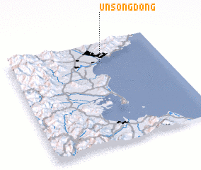 Places with similar names to Unsŏng-dong, Korea, North ::
// Unsŏng-dong (KP)
// Ŭnsŏng-dong (KR)
Disclaimer :: Information on this page comes without warranty of any kind |
||
|
Where is Unsŏng-dong? Elevation and coordinates ::
Latitude (lat): 39°49'0"N Longitude (lon): 127°36'0"E
Elevation (approx.): -32768m (map arrows pan, magnifying glasses zoom) |
||
|
Visiting Unsŏng-dong? Hotel/Accommodation ::
Book a hotel in Unsŏng-dong Travel Guide ::
rental cars ::
car rental offers GPS waypoint ::
download a GPX waypoint (PoI) of Unsŏng-dong for your GPS receiver
|
||