|
search place name
|
||
Uthandae (Korea, North)Uthandae is a town in Korea, North. An overview map of the region around Uthandae is displayed below.
regional and 3d topo map of Uthandae, Korea, North ::

Uthandae airports ::
The nearest airport is FNJ - Pyongyang Intl, located 37.4 km north east of Uthandae.
Other airports nearby include GMP - Seoul Gimpo (210.7 km south east), SSN - Seoul East Seoul Ab (238.6 km south east), OSN - Osan Ab (265.2 km south east), Nearby towns ::
Kanhandae (0.0km north) //
Yu-dong (1.4km north west) //
Sin-ni (1.9km south) //
Kogae-maŭl (1.9km south) //
Taehŭng-ni (1.4km west) //
T'anchŏn (1.9km north) //
Ma-gol (1.4km east) //
Yunch'on-ni (1.4km west) //
Hwasan-ni (1.8km south east) //
Tui-dong (2.3km north) //
Karumul (2.3km south west) //
Sinhŭng-ni (2.3km south east) //
T'anhyŏn-ni (2.3km south west) //
Kang-dong (2.3km south west) //
Sin-dong (2.3km south east) //
Chajak-tong (2.3km south east) //
Hyŏngjeumul (2.3km north east) //
Nae-dong (2.3km north west) //
Yŏnjŏnggori (2.9km south) //
Kot-tong (3.3km north west) //
Yŏogae-ri (3.7km south) //
Tahak-kol (3.7km south) //
P'ulme (3.7km south) //
Yŏnbung-ni (2.9km west) //
Iam-ni (2.9km west) //
Toktarit'ŭl (2.9km east) //
Posŏng (2.9km east) //
Sabul (2.9km east) //
Yŏnnam-ni (3.0km west) //
[all distances 'as the bird flies' and approximate] 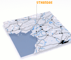 Places with similar names to Uthandae, Korea, North :: Disclaimer :: Information on this page comes without warranty of any kind |
||
|
Where is Uthandae? Elevation and coordinates ::
Latitude (lat): 39°3'0"N Longitude (lon): 125°18'0"E
Elevation (approx.): 14m (map arrows pan, magnifying glasses zoom) |
||
|
Visiting Uthandae? Hotel/Accommodation ::
Book a hotel in Uthandae Travel Guide ::
rental cars ::
car rental offers GPS waypoint ::
download a GPX waypoint (PoI) of Uthandae for your GPS receiver
|
||