|
search place name
|
||
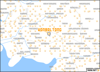
Wŏnbal-tong (Korea, North)Wŏnbal-tong is a town in Korea, North. An overview map of the region around Wŏnbal-tong is displayed below.
regional and 3d topo map of Wŏnbal-tong, Korea, North ::
Wŏnbal-tong airports ::
The nearest airport is FNJ - Pyongyang Intl, located 122.1 km south east of Wŏnbal-tong.
Nearby towns ::
Tongbal-li (1.0km south east) //
Palsan (1.3km south west) //
Naejung-ni (1.6km north west) //
Sŏbong (1.4km east) //
Sangho-dong (1.9km south) //
Nambal (1.9km south) //
Tongmun (1.9km north) //
Namsanmu (1.9km north) //
Sujŏng-dong (1.4km east) //
Wŏnsan (1.9km north) //
Mogot (1.8km north west) //
Tangbong (2.3km south east) //
T'osŏng (2.3km north east) //
Tongdang-dong (2.3km north west) //
Chunghŭng (2.3km south west) //
Paekhyŏn (2.2km south east) //
Yongjŏng (2.3km north east) //
Chungho-ri (2.7km south west) //
Tongsŏng-ni (2.7km north east) //
Insan (2.8km south west) //
Hasŏng-ni (3.3km south east) //
Tonghyŏn (3.7km south) //
Sŏhyŏn (3.7km south) //
Haeam (3.7km south) //
Pansong (3.7km north) //
Yongbong (2.8km east) //
Sŏbong (2.8km east) //
Pan'gong-ni (3.6km north) //
Inp'yŏng (4.0km south) //
[all distances 'as the bird flies' and approximate] 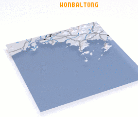 Places with similar names to Wŏnbal-tong, Korea, North :: Disclaimer :: Information on this page comes without warranty of any kind |
||
|
Where is Wŏnbal-tong? Elevation and coordinates ::
Latitude (lat): 39°54'0"N Longitude (lon): 124°33'0"E
Elevation (approx.): 5m (map arrows pan, magnifying glasses zoom) |
||
|
Visiting Wŏnbal-tong? Hotel/Accommodation ::
Book a hotel in Wŏnbal-tong Travel Guide ::
rental cars ::
car rental offers GPS waypoint ::
download a GPX waypoint (PoI) of Wŏnbal-tong for your GPS receiver
|
||