|
search place name
|
||
Yongam-ch'on (Hamgyŏng, Korea, North)Yongam-ch'on is a town in the Hamgyŏng region of Korea, North. An overview map of the region around Yongam-ch'on is displayed below.
regional and 3d topo map of Yongam-ch'on, Korea, North ::

Nearby towns ::
Sinhŭng-ch'on (0.5km east) //
T'aeyang-ch'on (1.1km south east) //
Sangjang-ch'on (1.4km west) //
Ha-ch'on (1.9km north west) //
Pangga-ri (2.6km north) //
Wŏlgŭndae-ri (2.7km north west) //
Chung-ni (2.3km east) //
Pongŭi-ri (3.7km south) //
Chung-ch'on (3.3km north west) //
Yu-ch'on (3.7km north) //
Ch'ang-ch'on (3.8km north west) //
Ch'ŏngyang-ch'on (3.1km west) //
I-ch'on (4.4km north) //
Tŏgudae-ri (3.8km north east) //
Han-ch'on (4.4km north east) //
Sŭngji-ch'on (3.9km north west) //
Huae-ch'on (4.0km north east) //
Kŭm-ch'on (5.1km north) //
Taemun-ch'on (4.5km north west) //
Chang-ch'on (4.9km north east) //
Ilgŏn (4.1km west) //
Kang-ch'on (5.4km north) //
Nahŭng-ni (4.3km west) //
Such'im-ch'on (4.9km north west) //
Pak-ch'on (5.9km north) //
Imjadong-ni (6.1km north) //
Sa-dong (4.9km west) //
Paek-tong (5.4km north west) //
Yangji-ch'on (5.3km north east) //
[all distances 'as the bird flies' and approximate] 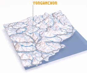 Places with similar names to Yongam-ch'on, Korea, North ::
Disclaimer :: Information on this page comes without warranty of any kind |
||
|
Where is Yongam-ch'on? Elevation and coordinates ::
Latitude (lat): 40°15'37"N Longitude (lon): 128°12'1"E
Elevation (approx.): 159m (map arrows pan, magnifying glasses zoom) |
||
|
Visiting Yongam-ch'on? Hotel/Accommodation ::
Book a hotel in Yongam-ch'on Travel Guide ::
rental cars ::
car rental offers GPS waypoint ::
download a GPX waypoint (PoI) of Yongam-ch'on for your GPS receiver
|
||