|
search place name
|
||
Yŏngjŏ-ri (Kangwŏn, Korea, North)Yŏngjŏ-ri is a town in the Kangwŏn region of Korea, North. An overview map of the region around Yŏngjŏ-ri is displayed below.
regional and 3d topo map of Yŏngjŏ-ri, Korea, North ::

Yŏngjŏ-ri airports ::
The nearest airport is FNJ - Pyongyang Intl, located 135.3 km west of Yŏngjŏ-ri.
Other airports nearby include SHO - Sokch'o Sokcho (158.7 km south east), GMP - Seoul Gimpo (173.3 km south), SSN - Seoul East Seoul Ab (181.8 km south), KAG - Kangnung Gangneung (210.4 km south east), Nearby towns ::
Yong-dong (3.1km south east) //
Kŭmdong-ni (3.7km west) //
Ŏktong-ni (4.2km north west) //
Pokhoe-ri (4.8km north west) //
Masing-ni (6.2km north) //
Ch'a-dong (6.5km south west) //
Samt'ae-ri (7.2km north east) //
Chaktong-ni (6.9km north west) //
Taegak-tong (8.1km south east) //
Naedong-ni (7.3km south west) //
Kumi-ri (6.7km west) //
Sot'ong-gol (8.6km south) //
P'andŏng-ni (9.0km south) //
Wŏnsan-ni (8.9km south west) //
Changnim-ni (10.9km north east) //
[all distances 'as the bird flies' and approximate] 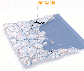 Places with similar names to Yŏngjŏ-ri, Korea, North ::
// Hyŏngje-ri (KP)
// Hyŏngje-ri (KP)
// Yangji-ri (KP)
// Yangji-ri (KP)
// Yangji-ri (KP)
// Yangji-ri (KP)
// Yangji-ri (KP)
// Yangji-ri (KP)
// Yongji-ri (KP)
// Yongji-ri (KP)
Disclaimer :: Information on this page comes without warranty of any kind |
||
|
Where is Yŏngjŏ-ri? Elevation and coordinates ::
Latitude (lat): 39°4'54"N Longitude (lon): 127°13'31"E
Elevation (approx.): 496m (map arrows pan, magnifying glasses zoom) |
||
|
Visiting Yŏngjŏ-ri? Hotel/Accommodation ::
Book a hotel in Yŏngjŏ-ri Travel Guide ::
rental cars ::
car rental offers GPS waypoint ::
download a GPX waypoint (PoI) of Yŏngjŏ-ri for your GPS receiver
|
||