|
search place name
|
||
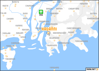
Hadan-ni (Pusan, Korea, South)Hadan-ni is a town in the Pusan region of Korea, South. An overview map of the region around Hadan-ni is displayed below.
regional and 3d topo map of Hadan-ni, Korea, South ::
Hadan-ni airports ::
The nearest airport is PUS - Kimhae Gimhae Intl, located 9.2 km north of Hadan-ni.
Other airports nearby include USN - Ulsan (65.0 km north east), TAE - Taegu Daegu Ab (92.4 km north), TSJ - Tsushima (96.4 km south), KPO - Pohang (106.8 km north), Nearby towns ::
Oejangnim (2.4km south east) //
Ŏmgung-dong (3.4km north) //
Hoemangch'on (3.0km east) //
Kamch'ŏn (3.6km south east) //
Yŏnggang (3.6km north west) //
Chinmok (3.7km west) //
Tadae-dong (4.7km south) //
Yŏmmag 1-gu (4.7km north) //
Chungsin (4.5km west) //
P'yŏngsŏng (5.0km west) //
Amnam-dong (5.9km south east) //
Kwaebŏp (7.6km north) //
P'yŏngwido (7.6km north west) //
Pusan (6.7km east) //
Subongdo (7.9km north west) //
Sangnam (8.7km north west) //
[all distances 'as the bird flies' and approximate] 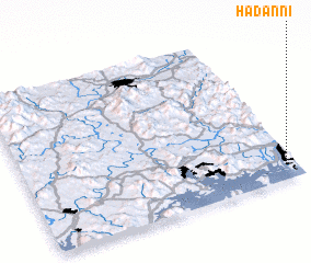 Places with similar names to Hadan-ni, Korea, South ::
Disclaimer :: Information on this page comes without warranty of any kind |
||
|
Where is Hadan-ni? Elevation and coordinates ::
Latitude (lat): 35°6'0"N Longitude (lon): 128°58'0"E
Elevation (approx.): 100m (map arrows pan, magnifying glasses zoom) |
||
|
Visiting Hadan-ni? Hotel/Accommodation ::
Book a hotel in Hadan-ni Travel Guide ::
rental cars ::
car rental offers GPS waypoint ::
download a GPX waypoint (PoI) of Hadan-ni for your GPS receiver
|
||