|
search place name
|
||
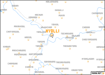
Hyŏl-li (Kangwŏn, Korea, South)Hyŏl-li is a town in the Kangwŏn region of Korea, South. An overview map of the region around Hyŏl-li is displayed below.
regional and 3d topo map of Hyŏl-li, Korea, South ::
Hyŏl-li airports ::
The nearest airport is SHO - Sokch'o Sokcho, located 31.9 km north east of Hyŏl-li.
Other airports nearby include KAG - Kangnung Gangneung (58.7 km east), SSN - Seoul East Seoul Ab (120.7 km south west), GMP - Seoul Gimpo (142.1 km west), YEC - Yechon Yecheon (146.6 km south), Nearby towns ::
Hajukch'ŏn (3.2km north west) //
Yangji-ch'on (3.0km west) //
Yŏk-kol (3.8km north) //
Yongp'o (4.1km south west) //
Toch'ae-dong (4.2km east) //
Sap'yŏng-dong (5.2km south west) //
Tari-gol (5.4km south west) //
Pang-gol (5.0km east) //
Puk sam-ni (6.7km north west) //
Taehwak-tong (6.3km south east) //
Puk i-ri (7.4km north) //
Hajijŏn (6.6km east) //
Hach'u-ri (8.1km north west) //
Wae-gol (6.9km west) //
Hup'yŏng-dong (8.4km south west) //
Kwidul-li (9.0km north) //
Kŏmusŏk (8.4km north west) //
Ŏmsu-dong (10.4km south west) //
[all distances 'as the bird flies' and approximate] 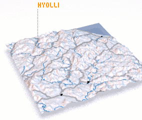 Places with similar names to Hyŏl-li, Korea, South ::
Disclaimer :: Information on this page comes without warranty of any kind |
||
|
Where is Hyŏl-li? Elevation and coordinates ::
Latitude (lat): 37°57'9"N Longitude (lon): 128°19'31"E
Elevation (approx.): 399m (map arrows pan, magnifying glasses zoom) |
||
|
Visiting Hyŏl-li? Hotel/Accommodation ::
Book a hotel in Hyŏl-li Travel Guide ::
rental cars ::
car rental offers GPS waypoint ::
download a GPX waypoint (PoI) of Hyŏl-li for your GPS receiver
|
||