|
search place name
|
||
Masan (Kyŏngsang, Korea, South)Masan is a town in the Kyŏngsang region of Korea, South. An overview map of the region around Masan is displayed below.
regional and 3d topo map of Masan, Korea, South ::

Masan airports ::
The nearest airport is PUS - Kimhae Gimhae Intl, located 33.5 km east of Masan.
Other airports nearby include TAE - Taegu Daegu Ab (76.5 km north), USN - Ulsan (82.7 km north east), RSU - Yeosu (96.2 km south west), KPO - Pohang (115.7 km north east), Nearby towns ::
Kumasan (1.3km south east) //
Sangnam-dong (1.4km north east) //
Salgujŏng (2.9km north) //
Pongam (4.1km east) //
P'yŏngsŏng (5.1km north west) //
Kamch'ŏn (4.9km west) //
Kap'o (6.2km south) //
Ansŏng (6.1km north) //
Sin'gam (5.2km west) //
Kwisan (6.2km south east) //
Usan (6.8km south) //
Samjŏng (6.1km north west) //
Naesŏ (6.6km north west) //
Tŏk-dong (7.9km south) //
Ok-tong (7.8km south) //
Pibong-dong (7.6km south east) //
Samgye-ri (6.8km west) //
T'aebong (7.7km south west) //
Oegam (8.9km north) //
Maerak-tong (7.6km east) //
Naech'u (8.0km south west) //
Hogok (9.1km north west) //
Pugong-ni (9.3km north west) //
Yongdam-ni (9.3km north west) //
[all distances 'as the bird flies' and approximate] 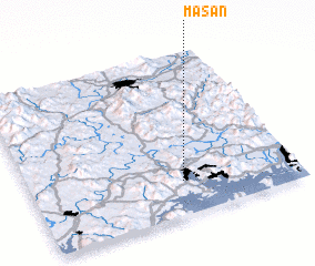 Places with similar names to Masan, Korea, South ::
Disclaimer :: Information on this page comes without warranty of any kind |
||
|
Where is Masan? Elevation and coordinates ::
Latitude (lat): 35°12'29"N Longitude (lon): 128°34'21"E
Elevation (approx.): 25m (map arrows pan, magnifying glasses zoom) |
||
|
Visiting Masan? Hotel/Accommodation ::
Book a hotel in Masan Travel Guide ::
rental cars ::
car rental offers GPS waypoint ::
download a GPX waypoint (PoI) of Masan for your GPS receiver
|
||