|
search place name
|
||
Naedae (Kyŏngsang, Korea, South)Naedae is a town in the Kyŏngsang region of Korea, South. An overview map of the region around Naedae is displayed below.
regional and 3d topo map of Naedae, Korea, South ::

Naedae airports ::
The nearest airport is RSU - Yeosu, located 50.4 km south of Naedae.
Other airports nearby include KWJ - Kwangju Gwangju (87.4 km west), TAE - Taegu Daegu Ab (106.7 km north east), PUS - Kimhae Gimhae Intl (108.8 km east), KUB - Kunsan Ab (123.7 km north west), Nearby towns ::
Pukch'on (0.0km north) //
Chungsan (0.8km north) //
Naedae-ri (1.3km south west) //
Tongdang (2.6km south east) //
Kŏrim (2.6km west) //
Samdang (4.3km south east) //
Naewŏl-li (4.4km north east) //
Samgŏ-ri (5.8km south) //
Anjangdang (5.6km north east) //
P'anch'on (6.3km south east) //
Taep'o (6.8km east) //
Changjaegi (8.5km south) //
Kuktong (7.3km south east) //
Changgo-ri (8.5km south) //
Naegong-ni (8.4km south east) //
Somak-kol (9.6km north east) //
Kindŭng (10.7km south east) //
[all distances 'as the bird flies' and approximate] 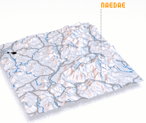 Places with similar names to Naedae, Korea, South ::
Disclaimer :: Information on this page comes without warranty of any kind |
||
|
Where is Naedae? Elevation and coordinates ::
Latitude (lat): 35°17'0"N Longitude (lon): 127°45'0"E
Elevation (approx.): 573m (map arrows pan, magnifying glasses zoom) |
||
|
Visiting Naedae? Hotel/Accommodation ::
Book a hotel in Naedae Travel Guide ::
rental cars ::
car rental offers GPS waypoint ::
download a GPX waypoint (PoI) of Naedae for your GPS receiver
|
||