|
search place name
|
||
Nook (Kyŏngsang, Korea, South)Nook is a town in the Kyŏngsang region of Korea, South. An overview map of the region around Nook is displayed below.
regional and 3d topo map of Nook, Korea, South ::

Nook airports ::
The nearest airport is YEC - Yechon Yecheon, located 56.5 km north east of Nook.
Other airports nearby include TAE - Taegu Daegu Ab (58.8 km south east), KPO - Pohang (120.6 km east), USN - Ulsan (129.7 km south east), PUS - Kimhae Gimhae Intl (133.2 km south east), Nearby towns ::
Ach'ŏn (2.0km north east) //
Hanam (3.0km east) //
Kŭmsan (3.7km south) //
Chik-tong (3.0km west) //
Tong-ni (3.9km north) //
Inŭi (3.5km south west) //
Ponghang (4.0km north) //
Myogwang (4.2km east) //
Tomyŏng (4.8km north east) //
Kimch'ŏn (5.5km south) //
Kŭmhwa (4.5km west) //
Nojŭng-ni (5.8km south) //
Kulmi (5.4km north east) //
Kuya (5.9km north east) //
Sang-ni (6.3km west) //
Sae-maŭl (7.4km south east) //
Ch'ang-ch'on (6.4km west) //
Sin-ch'on (7.0km south east) //
Nŭngjŏm (8.0km north west) //
Soya (8.2km north west) //
Chŏkha (8.6km north east) //
Wŏlgok (9.9km south east) //
[all distances 'as the bird flies' and approximate] 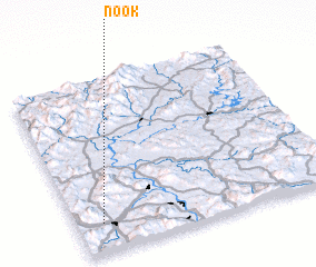 Places with similar names to Nook, Korea, South ::
Disclaimer :: Information on this page comes without warranty of any kind |
||
|
Where is Nook? Elevation and coordinates ::
Latitude (lat): 36°10'0"N Longitude (lon): 128°6'0"E
Elevation (approx.): 123m (map arrows pan, magnifying glasses zoom) |
||
|
Visiting Nook? Hotel/Accommodation ::
Book a hotel in Nook Travel Guide ::
rental cars ::
car rental offers GPS waypoint ::
download a GPX waypoint (PoI) of Nook for your GPS receiver
|
||