|
search place name
|
||
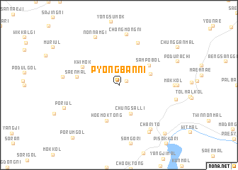
P'yŏngban-ni (Kyŏnggi, Korea, South)P'yŏngban-ni is a town in the Kyŏnggi region of Korea, South. An overview map of the region around P'yŏngban-ni is displayed below.
regional and 3d topo map of P'yŏngban-ni, Korea, South ::
P'yŏngban-ni airports ::
The nearest airport is SSN - Seoul East Seoul Ab, located 58.5 km south west of P'yŏngban-ni.
Other airports nearby include GMP - Seoul Gimpo (69.4 km south west), OSN - Osan Ab (97.2 km south west), SHO - Sokch'o Sokcho (104.4 km east), KAG - Kangnung Gangneung (132.5 km east), Nearby towns ::
Koam (1.2km north east) //
Chungsal-li (4.7km south) //
Omok-kol (4.3km north east) //
Samp'obŏl (4.8km north east) //
Hoemok-tong (5.7km south) //
Kwimok (5.3km north west) //
Saen-mal (5.4km west) //
Kwanch'ŏng-ni (7.0km north) //
Chŏngmong-ni (7.9km north) //
Nonnamgi (8.0km north) //
Charit'ŏ (8.0km south east) //
Mak-kol (6.9km east) //
Kyŏngbal-li (8.4km south east) //
Kŏjŏbi (7.1km west) //
Poriul (7.8km south west) //
Kap'yŏng (9.5km south east) //
Porŭm-gol (10.1km south west) //
[all distances 'as the bird flies' and approximate] 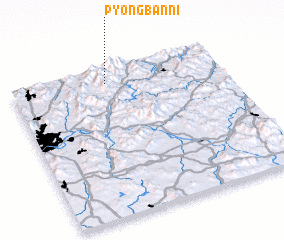 Places with similar names to P'yŏngban-ni, Korea, South :: Disclaimer :: Information on this page comes without warranty of any kind |
||
|
Where is P'yŏngban-ni? Elevation and coordinates ::
Latitude (lat): 37°54'0"N Longitude (lon): 127°27'0"E
Elevation (approx.): 331m (map arrows pan, magnifying glasses zoom) |
||
|
Visiting P'yŏngban-ni? Hotel/Accommodation ::
Book a hotel in P'yŏngban-ni Travel Guide ::
rental cars ::
car rental offers GPS waypoint ::
download a GPX waypoint (PoI) of P'yŏngban-ni for your GPS receiver
|
||