|
search place name
|
||
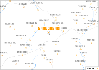
Sangdosa-ri (Kangwŏn, Korea, South)Sangdosa-ri is a town in the Kangwŏn region of Korea, South. An overview map of the region around Sangdosa-ri is displayed below.
regional and 3d topo map of Sangdosa-ri, Korea, South ::
Sangdosa-ri airports ::
The nearest airport is KAG - Kangnung Gangneung, located 46.1 km east of Sangdosa-ri.
Other airports nearby include SHO - Sokch'o Sokcho (58.3 km north), YEC - Yechon Yecheon (111.3 km south), SSN - Seoul East Seoul Ab (119.3 km west), OSN - Osan Ab (139.0 km south west), Nearby towns ::
Oeipsŏk (4.1km south east) //
Changsu-gol (4.4km north east) //
Maeji-dong (4.8km north) //
Soksa-ri (4.4km east) //
Samgŏ-ri (5.3km south west) //
Inhŭng-dong (4.5km west) //
Samgŏ-ri (6.0km north) //
Changp'yŏng-ni (6.4km south) //
Wissamgŏ-ri (7.0km north) //
Ch'angdong-ni (6.0km west) //
Porae-dong (6.3km north west) //
Sa-dong (7.7km south) //
Simp'o (9.0km south) //
Kŭmsan-dong (8.6km south west) //
[all distances 'as the bird flies' and approximate] 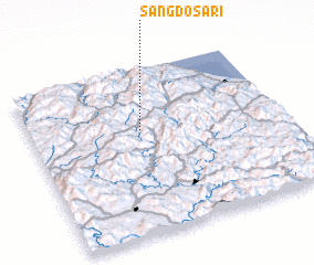 Places with similar names to Sangdosa-ri, Korea, South ::
// Sangt'aesŏ-ri (KR)
Disclaimer :: Information on this page comes without warranty of any kind |
||
|
Where is Sangdosa-ri? Elevation and coordinates ::
Latitude (lat): 37°37'56"N Longitude (lon): 128°26'38"E
Elevation (approx.): 610m (map arrows pan, magnifying glasses zoom) |
||
|
Visiting Sangdosa-ri? Hotel/Accommodation ::
Book a hotel in Sangdosa-ri Travel Guide ::
rental cars ::
car rental offers GPS waypoint ::
download a GPX waypoint (PoI) of Sangdosa-ri for your GPS receiver
|
||