|
search place name
|
||
Sŏjung (Pusan, Korea, South)Sŏjung is a town in the Pusan region of Korea, South. An overview map of the region around Sŏjung is displayed below.
regional and 3d topo map of Sŏjung, Korea, South ::

Sŏjung airports ::
The nearest airport is PUS - Kimhae Gimhae Intl, located 19.9 km north east of Sŏjung.
Other airports nearby include USN - Ulsan (79.1 km north east), TSJ - Tsushima (94.9 km south east), TAE - Taegu Daegu Ab (97.1 km north), RSU - Yeosu (111.9 km west), Nearby towns ::
Namjung (0.1km east) //
Ch'ŏnsŏng-ni (0.3km north west) //
Tumun (1.3km north) //
Taehang-ni (2.2km south east) //
Changhang (2.4km north) //
Kadŏk (2.8km north east) //
Tongsŏn (3.3km north) //
Sŏngbung-ni (3.5km north) //
Chŏnggŏ (5.0km north east) //
An-gol (7.0km north) //
Yongjae (7.8km north) //
Songjŏng (8.3km north) //
Sinho (8.2km north east) //
Hwajŏn (8.9km north east) //
Sado (10.2km north west) //
Ungch'ŏn (10.8km north west) //
[all distances 'as the bird flies' and approximate] 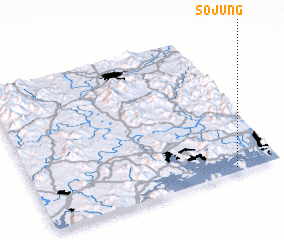 Places with similar names to Sŏjung, Korea, South ::
Disclaimer :: Information on this page comes without warranty of any kind |
||
|
Where is Sŏjung? Elevation and coordinates ::
Latitude (lat): 35°1'44"N Longitude (lon): 128°49'12"E
Elevation (approx.): 52m (map arrows pan, magnifying glasses zoom) |
||
|
Visiting Sŏjung? Hotel/Accommodation ::
Book a hotel in Sŏjung Travel Guide ::
rental cars ::
car rental offers GPS waypoint ::
download a GPX waypoint (PoI) of Sŏjung for your GPS receiver
|
||