|
search place name
|
||
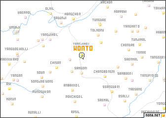
Wŏnt'ŏ (Kangwŏn, Korea, South)Wŏnt'ŏ is a town in the Kangwŏn region of Korea, South. An overview map of the region around Wŏnt'ŏ is displayed below.
regional and 3d topo map of Wŏnt'ŏ, Korea, South ::
Wŏnt'ŏ airports ::
The nearest airport is SSN - Seoul East Seoul Ab, located 71.8 km west of Wŏnt'ŏ.
Other airports nearby include SHO - Sokch'o Sokcho (85.3 km north east), KAG - Kangnung Gangneung (93.4 km east), OSN - Osan Ab (96.3 km south west), GMP - Seoul Gimpo (98.2 km west), Nearby towns ::
Yangji-mal (2.3km north) //
Chunggant'ŏ (2.3km west) //
Samgŏri (3.2km south) //
Nŭrŭch'i (3.5km south west) //
Tongmak-kol (4.9km north east) //
Chisan (5.1km south west) //
Ch'angbong-ni (5.6km south east) //
Tolmoru (6.1km north east) //
Anbak-kol (7.4km south) //
Sam-dong (6.6km south west) //
Chŏm-mal (6.5km east) //
Yangjimal (7.3km north west) //
Tŭngdae (8.4km north) //
Sokch'o-ri (8.6km north) //
Sadunji (9.1km north west) //
Pulgŭnbong (8.6km north east) //
Ssangdari (9.1km south east) //
[all distances 'as the bird flies' and approximate] 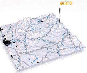 Places with similar names to Wŏnt'ŏ, Korea, South ::
Disclaimer :: Information on this page comes without warranty of any kind |
||
|
Where is Wŏnt'ŏ? Elevation and coordinates ::
Latitude (lat): 37°36'37"N Longitude (lon): 127°54'0"E
Elevation (approx.): 351m (map arrows pan, magnifying glasses zoom) |
||
|
Visiting Wŏnt'ŏ? Hotel/Accommodation ::
Book a hotel in Wŏnt'ŏ Travel Guide ::
rental cars ::
car rental offers GPS waypoint ::
download a GPX waypoint (PoI) of Wŏnt'ŏ for your GPS receiver
|
||