|
search place name
|
||
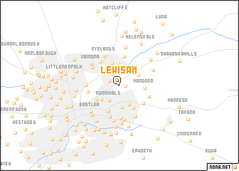
Lewisam (Mashonaland East, Zimbabwe)Lewisam is a town in the Mashonaland East region of Zimbabwe. An overview map of the region around Lewisam is displayed below.
regional and 3d topo map of Lewisam, Zimbabwe ::
Lewisam airports ::
The nearest airport is HRE - Harare Intl, located 16.1 km south of Lewisam.
Other airports nearby include GWE - Gwert Gweru Thornhill (225.3 km south west), Nearby towns ::
Colne Valley (1.0km north west) //
Chisipite (0.9km east) //
Rietfontein (1.7km north west) //
Ballantyne Park (2.2km north west) //
Rolf Valley (2.3km north) //
Runnivale (2.8km south west) //
Greendale (3.2km south east) //
The Grange (3.3km north east) //
Dawn Hill (3.4km south) //
Colray (3.4km north) //
Kambanji (3.4km north east) //
Highlands (3.5km south west) //
Borrowdale (3.7km north) //
Mandara (3.8km east) //
Athlone (4.1km south east) //
Newlands (4.1km south west) //
Rhodesville (4.3km south) //
Greystone Park (4.6km north) //
Donnybrook (4.5km south east) //
Pomona (4.8km north west) //
Lichendale (4.7km east) //
Amby (5.0km south) //
Gun Hill (4.8km west) //
Borrowdale West (4.9km north west) //
Coronation Park (5.1km south) //
Ryelands (5.2km north west) //
New Alexandra Park (5.1km west) //
Letombo Park (5.3km south) //
Green Grove (5.4km south east) //
[all distances 'as the bird flies' and approximate] 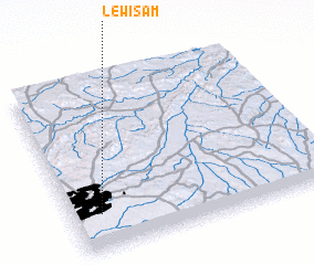 Places with similar names to Lewisam, Zimbabwe :: Disclaimer :: Information on this page comes without warranty of any kind |
||
|
Where is Lewisam? Elevation and coordinates ::
Latitude (lat): 17°47'17"S Longitude (lon): 31°6'50"E
Elevation (approx.): 1501m (map arrows pan, magnifying glasses zoom) |
||
|
Visiting Lewisam? Hotel/Accommodation ::
Book a hotel in Lewisam Travel Guide ::
Buy a travel guide for Zimbabwe rental cars ::
car rental offers GPS waypoint ::
download a GPX waypoint (PoI) of Lewisam for your GPS receiver
|
||