|
search place name
|
||
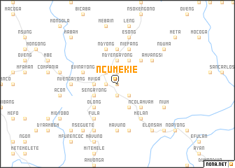
Ncumekie (Equatorial Guinea)Ncumekie is a town in Equatorial Guinea. An overview map of the region around Ncumekie is displayed below.
regional and 3d topo map of Ncumekie, Equatorial Guinea ::
Ncumekie airports ::
The nearest airport is BSG - Bata, located 104.3 km north west of Ncumekie.
Other airports nearby include OYE - Oyem (108.0 km east), BMM - Bitam (120.6 km north east), LBV - Libreville Leon M Ba (172.0 km south west), Nearby towns ::
Efulayong (NaNkm north) //
Ngomasi (1.9km south) //
Asoc (1.9km west) //
Ebomicu (1.9km west) //
Ovengasi (1.9km north) //
Fegayong (2.6km south east) //
Mofono (2.6km south east) //
Mabono (2.6km north west) //
Alum (2.6km north west) //
Nomenan (2.6km north west) //
Ndyengayong (3.7km north) //
Mviga (3.7km west) //
Asoclon (4.1km south east) //
Beyibe (4.1km south west) //
Sengayong (4.1km south west) //
Mfulayong (4.1km north east) //
Ncolamvam (5.2km south east) //
Mavuno (5.2km south west) //
Olong (5.2km south west) //
Ebaiñ (5.2km south west) //
Mfulayong (5.2km north east) //
Micaosi (5.6km north) //
Niefang (5.9km north) //
Evinayong (5.9km west) //
Ndyong (5.9km north) //
Melan (6.7km south east) //
Fula (6.7km south west) //
Bisobinam (6.7km south west) //
Amvangsi (6.7km north east) //
[all distances 'as the bird flies' and approximate] 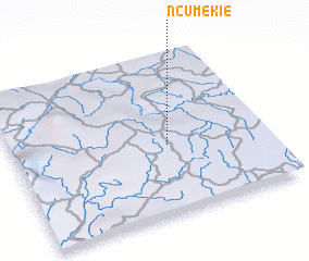 Places with similar names to Ncumekie, Equatorial Guinea ::
Disclaimer :: Information on this page comes without warranty of any kind |
||
|
Where is Ncumekie? Elevation and coordinates ::
Latitude (lat): 1°26'0"N Longitude (lon): 10°37'0"E
Elevation (approx.): 680m (map arrows pan, magnifying glasses zoom) |
||
|
Visiting Ncumekie? Hotel/Accommodation ::
Book a hotel in Ncumekie Travel Guide ::
rental cars ::
car rental offers GPS waypoint ::
download a GPX waypoint (PoI) of Ncumekie for your GPS receiver
|
||