|
search place name
|
||
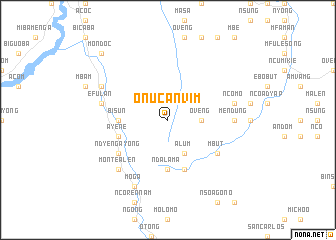
Onucanvim (Equatorial Guinea)Onucanvim is a town in Equatorial Guinea. An overview map of the region around Onucanvim is displayed below.
regional and 3d topo map of Onucanvim, Equatorial Guinea ::
Onucanvim airports ::
The nearest airport is BSG - Bata, located 64.1 km west of Onucanvim.
Other airports nearby include BMM - Bitam (133.2 km east), OYE - Oyem (138.4 km east), LBV - Libreville Leon M Ba (173.9 km south west), Nearby towns ::
Oveng (3.7km east) //
Adyap (4.1km south east) //
Alum (4.1km south east) //
Bisún (5.6km west) //
Ndalama (5.6km south) //
Ayene (5.9km west) //
Acanabor (5.9km south) //
Mesoc (5.9km south) //
Ndyengayong (6.7km south west) //
Mbut (6.7km south east) //
Mendung (7.4km east) //
Ayeguening (7.6km west) //
Efulan (7.6km west) //
Ncomo (7.6km east) //
Monte Alen (7.9km south west) //
Bibobindoc (8.3km north west) //
Moga (8.3km south west) //
Alen (8.3km south west) //
Bicaba (10.5km north west) //
Aconanguí (10.5km north west) //
Mondoc (10.5km north west) //
[all distances 'as the bird flies' and approximate] 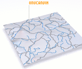 Places with similar names to Onucanvim, Equatorial Guinea :: Disclaimer :: Information on this page comes without warranty of any kind |
||
|
Where is Onucanvim? Elevation and coordinates ::
Latitude (lat): 1°43'0"N Longitude (lon): 10°21'0"E
Elevation (approx.): 855m (map arrows pan, magnifying glasses zoom) |
||
|
Visiting Onucanvim? Hotel/Accommodation ::
Book a hotel in Onucanvim Travel Guide ::
rental cars ::
car rental offers GPS waypoint ::
download a GPX waypoint (PoI) of Onucanvim for your GPS receiver
|
||