|
search place name
|
||
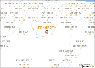
Coxheath (Trelawny, Jamaica)Coxheath is a town in the Trelawny region of Jamaica. An overview map of the region around Coxheath is displayed below.
regional and 3d topo map of Coxheath, Jamaica ::
Coxheath airports ::
The nearest airport is MBJ - Montego Bay Sangster Intl, located 33.2 km north west of Coxheath.
Other airports nearby include OCJ - Ocho Rios Boscobel (70.3 km east), KTP - Kingston Tinson Pen (95.3 km south east), KIN - Kingston Norman Manley Intl (101.4 km south east), POT - Port Antonio Ken Jones (117.7 km east), Nearby towns ::
Sherwood Content (1.9km north) //
Fontabelle (1.9km north) //
Windsor (1.8km east) //
Windsor (2.6km south west) //
Reserve (3.7km north) //
Chester (4.1km north east) //
Peru (4.0km north west) //
Duanvale (5.1km north east) //
Hampstead (5.6km north) //
Bunkers Hill (5.6km west) //
Perth Town (7.4km north) //
Acton (7.6km north) //
Good Hope (7.7km north west) //
Spotfield (8.0km north east) //
Kinloss (8.0km north east) //
Cambridge (8.2km north east) //
Clarks Town (9.0km north east) //
Hyde Hall (10.2km north east) //
Spring Garden (10.2km south east) //
[all distances 'as the bird flies' and approximate] 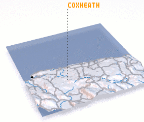
Disclaimer :: Information on this page comes without warranty of any kind |
||
|
Where is Coxheath? Elevation and coordinates ::
Latitude (lat): 18°22'0"N Longitude (lon): 77°38'0"W
Elevation (approx.): 253m (map arrows pan, magnifying glasses zoom) |
||
|
Visiting Coxheath? Hotel/Accommodation ::
Book a hotel in Coxheath Travel Guide ::
Buy a travel guide for Jamaica rental cars ::
car rental offers GPS waypoint ::
download a GPX waypoint (PoI) of Coxheath for your GPS receiver
|
||