|
search place name
|
||
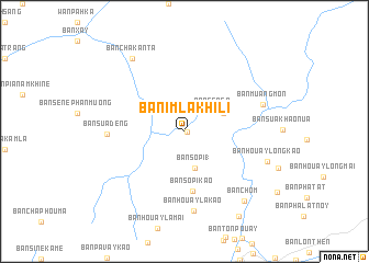
Ban Imlakhili (Louangnamtha, Laos)Ban Imlakhili is a town in the Louangnamtha region of Laos. An overview map of the region around Ban Imlakhili is displayed below.
regional and 3d topo map of Ban Imlakhili, Laos ::
Ban Imlakhili airports ::
The nearest airport is THL - Tachilek Tachileik, located 151.0 km south west of Ban Imlakhili.
Other airports nearby include KET - Kengtung (151.7 km west), LPQ - Luang Prabang Luang Phabang Intl (190.7 km south east), MOG - Mong Hsat (210.2 km south west), Nearby towns ::
Muong Moune (0.2km east) //
Ban Sèn-Èn (3.5km north east) //
Ban Sôp-I (1) (3.9km south) //
Ban Oua (4.1km north east) //
Ban Sôp-I-Kao (6.2km south) //
Ban Suadèng (7.4km west) //
Ban Houayla-Kao (8.1km south) //
Ban Muangmon (7.9km east) //
Ban Houaylong-Kao (8.4km east) //
Ban Cha Kanta (8.9km north west) //
Ban Chom (9.1km south east) //
Ban Koloung (10.1km south east) //
[all distances 'as the bird flies' and approximate] 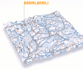 Places with similar names to Ban Imlakhili, Laos :: Disclaimer :: Information on this page comes without warranty of any kind |
||
|
Where is Ban Imlakhili? Elevation and coordinates ::
Latitude (lat): 21°18'0"N Longitude (lon): 101°5'52"E
Elevation (approx.): 972m (map arrows pan, magnifying glasses zoom) |
||
|
Visiting Ban Imlakhili? Hotel/Accommodation ::
Book a hotel in Ban Imlakhili Travel Guide ::
Buy a travel guide for Laos rental cars ::
car rental offers GPS waypoint ::
download a GPX waypoint (PoI) of Ban Imlakhili for your GPS receiver
|
||