|
search place name
|
||
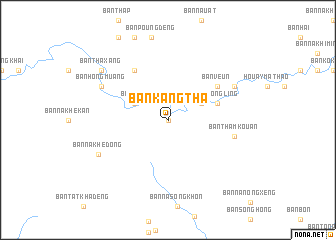
Ban Kang Tha (Laos)Ban Kang Tha is a town in Laos. An overview map of the region around Ban Kang Tha is displayed below.
regional and 3d topo map of Ban Kang Tha, Laos ::
Ban Kang Tha airports ::
The nearest airport is ZVK - Savannakhet, located 75.5 km south west of Ban Kang Tha.
Other airports nearby include SNO - Sakon Nakhon (123.5 km west), PKZ - Pakse (217.5 km south), Nearby towns ::
Ban Kang-Khambon (0.0km north) //
Ban Khamkhiao (4.0km north east) //
Ban Khamkhiao Tai (4.0km north east) //
Ban Lau (4.0km north west) //
Ban Bangbet (4.0km north west) //
Ban Hay (4.0km north west) //
Ban Pongling (5.6km east) //
Ban Dôngkouan (5.6km east) //
Ban Veun (6.5km north east) //
Ban Dôngtrouy (6.6km north west) //
Ban Thamkouan (7.3km east) //
Ban Khamkhiao Nua (8.0km north east) //
Ban Hong Muang (8.0km north west) //
Ban Nakhè-Dông (8.3km south west) //
Ban Thaxang (9.0km north west) //
[all distances 'as the bird flies' and approximate] 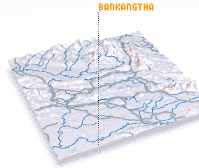 Places with similar names to Ban Kang Tha, Laos ::
// Ban Kôngtha (LA)
Disclaimer :: Information on this page comes without warranty of any kind |
||
|
Where is Ban Kang Tha? Elevation and coordinates ::
Latitude (lat): 17°2'0"N Longitude (lon): 105°16'0"E
Elevation (approx.): 168m (map arrows pan, magnifying glasses zoom) |
||
|
Visiting Ban Kang Tha? Hotel/Accommodation ::
Book a hotel in Ban Kang Tha Travel Guide ::
Buy a travel guide for Laos rental cars ::
car rental offers GPS waypoint ::
download a GPX waypoint (PoI) of Ban Kang Tha for your GPS receiver
|
||