|
search place name
|
||
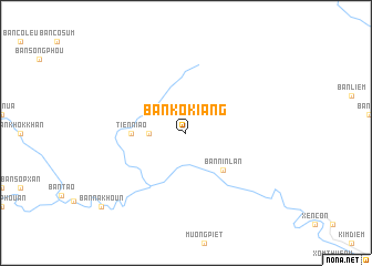
Ban Kokiang (Houaphan, Laos)Ban Kokiang is a town in the Houaphan region of Laos. An overview map of the region around Ban Kokiang is displayed below.
regional and 3d topo map of Ban Kokiang, Laos ::
Ban Kokiang airports ::
The nearest airport is HAN - Hanoi Noibai Intl, located 172.5 km north east of Ban Kokiang.
Nearby towns ::
Ban Houaylin (3.5km west) //
Bản Nin Lan (5.1km south east) //
Tien Niao (5.2km west) //
Ban Nakhoun (10.9km south west) //
[all distances 'as the bird flies' and approximate] 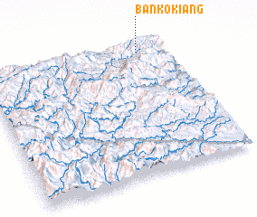 Places with similar names to Ban Kokiang, Laos ::
// Ban Kai Kiang (TH)
// Banga-Kungu (CD)
// Bangkuang (ID)
// Bengkeng (ID)
// Bengkuang (ID)
// Bingkeng (ID)
// Bongkang (ID)
// Bongkang (ID)
// Bungkang (MY)
// Bungkang (MY)
Disclaimer :: Information on this page comes without warranty of any kind |
||
|
Where is Ban Kokiang? Elevation and coordinates ::
Latitude (lat): 19°57'0"N Longitude (lon): 104°51'0"E
Elevation (approx.): 845m (map arrows pan, magnifying glasses zoom) |
||
|
Visiting Ban Kokiang? Hotel/Accommodation ::
Book a hotel in Ban Kokiang Travel Guide ::
Buy a travel guide for Laos rental cars ::
car rental offers GPS waypoint ::
download a GPX waypoint (PoI) of Ban Kokiang for your GPS receiver
|
||