|
search place name
|
||
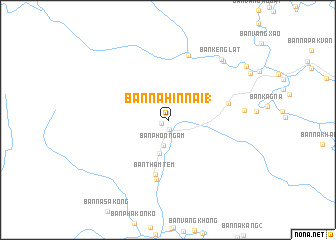
Ban Nahin-Nai (1) (Khammouan, Laos)Ban Nahin-Nai (1) is a town in the Khammouan region of Laos. An overview map of the region around Ban Nahin-Nai (1) is displayed below.
regional and 3d topo map of Ban Nahin-Nai (1), Laos ::
Ban Nahin-Nai (1) airports ::
The nearest airport is SNO - Sakon Nakhon, located 119.2 km south of Ban Nahin-Nai (1).
Other airports nearby include ZVK - Savannakhet (182.4 km south), UTH - Udon Thani (206.4 km south west), VTE - Vientiane Wattay Intl (210.9 km west), Nearby towns ::
Ban Nahin-Nai (2) (0.8km south west) //
Ban Namsanam (1.0km south) //
Ban Phônngam (2.9km south) //
Ban Nakham (3.8km south) //
Ban Thamtèm (6.2km south) //
Ban Tha (6.8km south) //
Ban Latmouang (6.6km east) //
Ban Kèngbit (7.5km north) //
Ban Nongkok (8.2km east) //
Ban Kènghua (8.8km north east) //
Ban Kènglat (8.8km north east) //
Ban Kèngbay (10.2km north east) //
[all distances 'as the bird flies' and approximate] 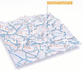 Places with similar names to Ban Nahin-Nai (1), Laos ::
// Ban Han Bua (TH)
// Ban Huai Na (1) (TH)
// Ban Huai Noi (1) (TH)
// Ban Hua Na (1) (TH)
// Banheni B (ID)
// Ban Hènba (LA)
// Ban Houn (1) (LA)
// Ban Na Hinu (1) (LA)
// Ban Hoenh (1) (VN)
// Bình An (1) (VN)
Disclaimer :: Information on this page comes without warranty of any kind |
||
|
Where is Ban Nahin-Nai (1)? Elevation and coordinates ::
Latitude (lat): 18°11'29"N Longitude (lon): 104°32'40"E
Elevation (approx.): 166m (map arrows pan, magnifying glasses zoom) |
||
|
Visiting Ban Nahin-Nai (1)? Hotel/Accommodation ::
Book a hotel in Ban Nahin-Nai (1) Travel Guide ::
Buy a travel guide for Laos rental cars ::
car rental offers GPS waypoint ::
download a GPX waypoint (PoI) of Ban Nahin-Nai (1) for your GPS receiver
|
||