|
search place name
|
||
Ban Nongdeun (Laos)Ban Nongdeun is a town in Laos. An overview map of the region around Ban Nongdeun is displayed below.
regional and 3d topo map of Ban Nongdeun, Laos ::

Ban Nongdeun airports ::
The nearest airport is ZVK - Savannakhet, located 71.8 km north west of Ban Nongdeun.
Other airports nearby include PKZ - Pakse (120.8 km south east), SNO - Sakon Nakhon (170.0 km north west), Nearby towns ::
Ban Thadua (1.8km west) //
Ban Na Pak Soun (2.6km south east) //
Ban Sana (2.6km south west) //
Khemarat (2.6km south east) //
Ban Sabouxai (4.0km north west) //
Ban Up Mung (5.3km west) //
Ban Naphô (5.7km west) //
Ban Na Muang (5.7km east) //
Ban Thaphè (7.4km east) //
Amphoe Khemmarat (7.6km south) //
Ban Nongbouatha (8.0km north west) //
Ban Nong In (8.0km north west) //
Ban Na Nhang (9.0km north west) //
Ban Khi Lek (10.3km south east) //
[all distances 'as the bird flies' and approximate] 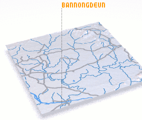 Places with similar names to Ban Nongdeun, Laos ::
// Binongtoan (PH)
// Binungto-an (PH)
// Bennington (US)
// Bennington (US)
// Bennington (US)
// Bennington (US)
// Ban Nong Daen (TH)
// Ban Nong Dan (TH)
// Ban Nong Dan (TH)
// Ban Nong Dan (TH)
Disclaimer :: Information on this page comes without warranty of any kind |
||
|
Where is Ban Nongdeun? Elevation and coordinates ::
Latitude (lat): 16°4'0"N Longitude (lon): 105°12'0"E
Elevation (approx.): 135m (map arrows pan, magnifying glasses zoom) |
||
|
Visiting Ban Nongdeun? Hotel/Accommodation ::
Book a hotel in Ban Nongdeun Travel Guide ::
Buy a travel guide for Laos rental cars ::
car rental offers GPS waypoint ::
download a GPX waypoint (PoI) of Ban Nongdeun for your GPS receiver
|
||