|
search place name
|
||
Ban Phit (Laos)Ban Phit is a town in Laos. An overview map of the region around Ban Phit is displayed below.
regional and 3d topo map of Ban Phit, Laos ::

Ban Phit airports ::
The nearest airport is SNO - Sakon Nakhon, located 111.9 km west of Ban Phit.
Other airports nearby include ZVK - Savannakhet (112.8 km south), Nearby towns ::
Ban Phônsang (NaNkm north) //
Ban Kouanphan (2.6km north east) //
Ban Phathoung (4.0km north east) //
Ban Mouangkhai (4.0km north west) //
Ban Phônkhèn (5.6km east) //
Ban Nakayak (5.8km south) //
Ban Natoung (7.6km south) //
Ban Kouankhoay (7.7km south west) //
Ban Phônlai (9.1km south west) //
Ban Nalaolouang (9.1km south east) //
[all distances 'as the bird flies' and approximate] 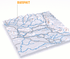 Places with similar names to Ban Phit, Laos ::
// Beni Fouda (MA)
// Benefit (US)
// Benfeita (PT)
// Ban Ao Fat (TH)
// Ban A Phat (TH)
// Ban Aphut (TH)
// Ban Fit (TH)
// Ban Na Phaet (TH)
// Ban Pha Di (TH)
// Ban Pha Dui (TH)
Disclaimer :: Information on this page comes without warranty of any kind |
||
|
Where is Ban Phit? Elevation and coordinates ::
Latitude (lat): 17°31'0"N Longitude (lon): 105°7'0"E
Elevation (approx.): 164m (map arrows pan, magnifying glasses zoom) |
||
|
Visiting Ban Phit? Hotel/Accommodation ::
Book a hotel in Ban Phit Travel Guide ::
Buy a travel guide for Laos rental cars ::
car rental offers GPS waypoint ::
download a GPX waypoint (PoI) of Ban Phit for your GPS receiver
|
||